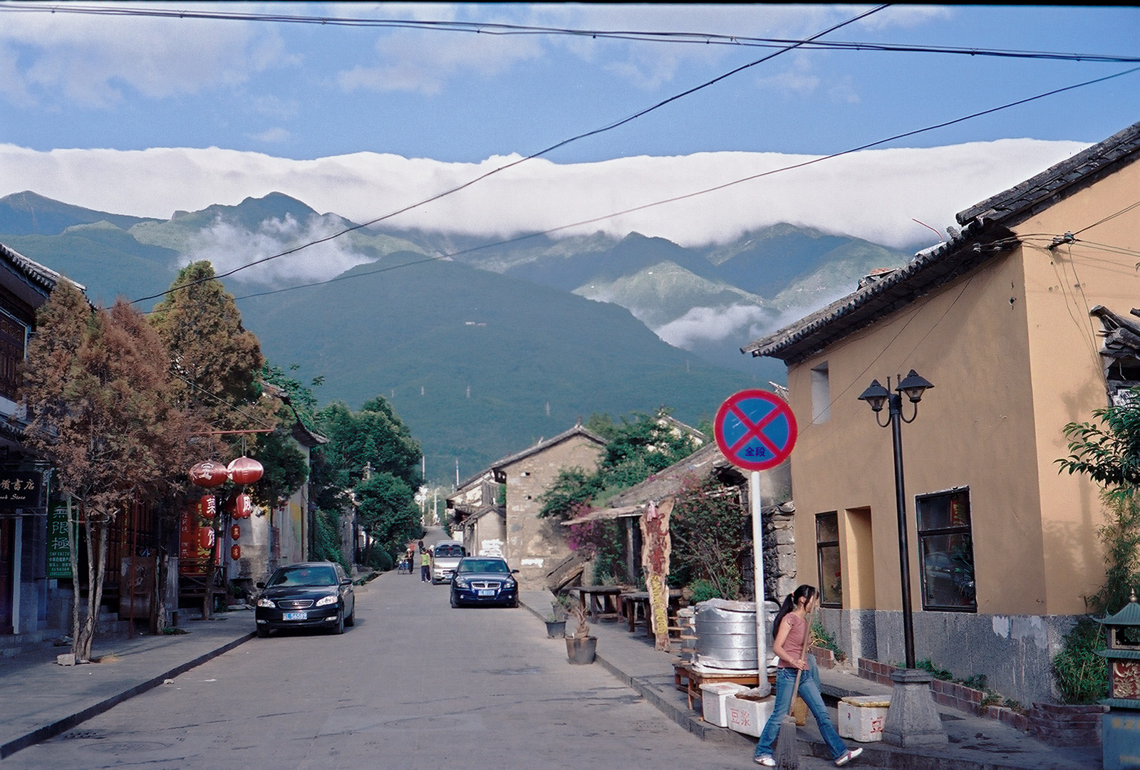
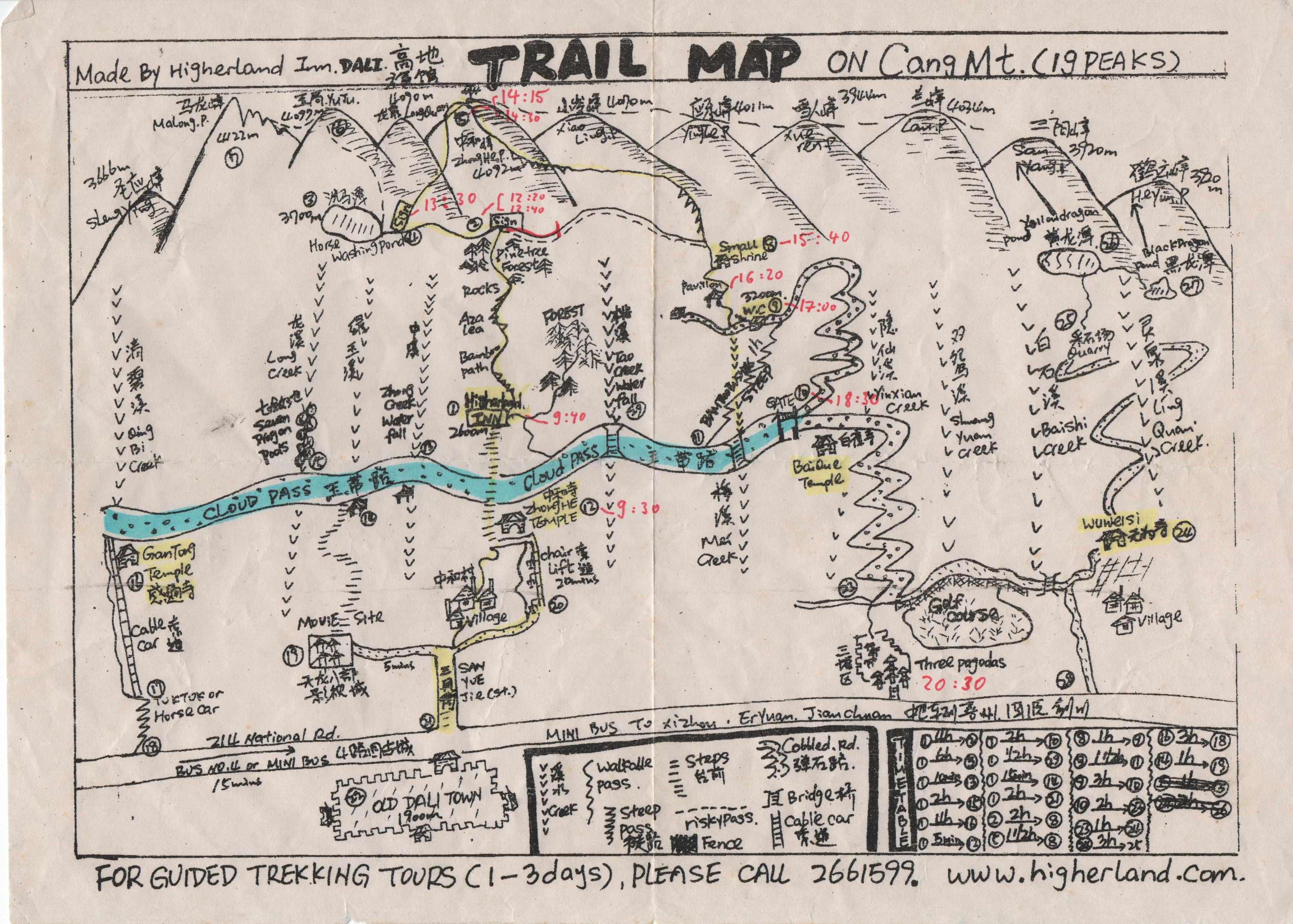
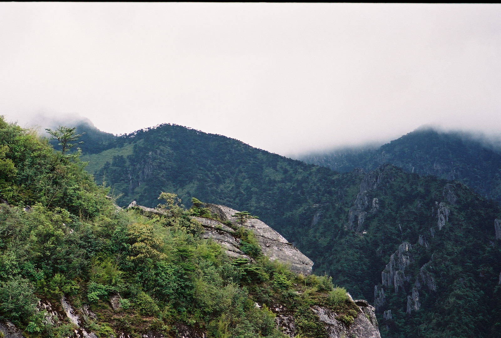
The weather was fine, though, as usual in summer, the peaks of Cang Shan were already hidden behind dense clouds. In the center of the foremost mountain range, the Zhonghe Temple is visible. The peak is on the third mountain range, invisible on this photo. After a solid breakfast (including an 8-egg omelet) I departed at about 8:30am, equipped with 1 1/2 liter water, a can of Cola, 4 Snickers, a warm fleece jacket, a rain coat, a binocular and a camera (Leica M2 with 2 empty films). Meanwhile, I had got my hands on a very useful map, drawn by the owner of Higherland Inn, and my plan was to overclimb Zhong He, starting at Zhonghe Temple (tag (12) on the map) and returning back near the three Pagodas (23).
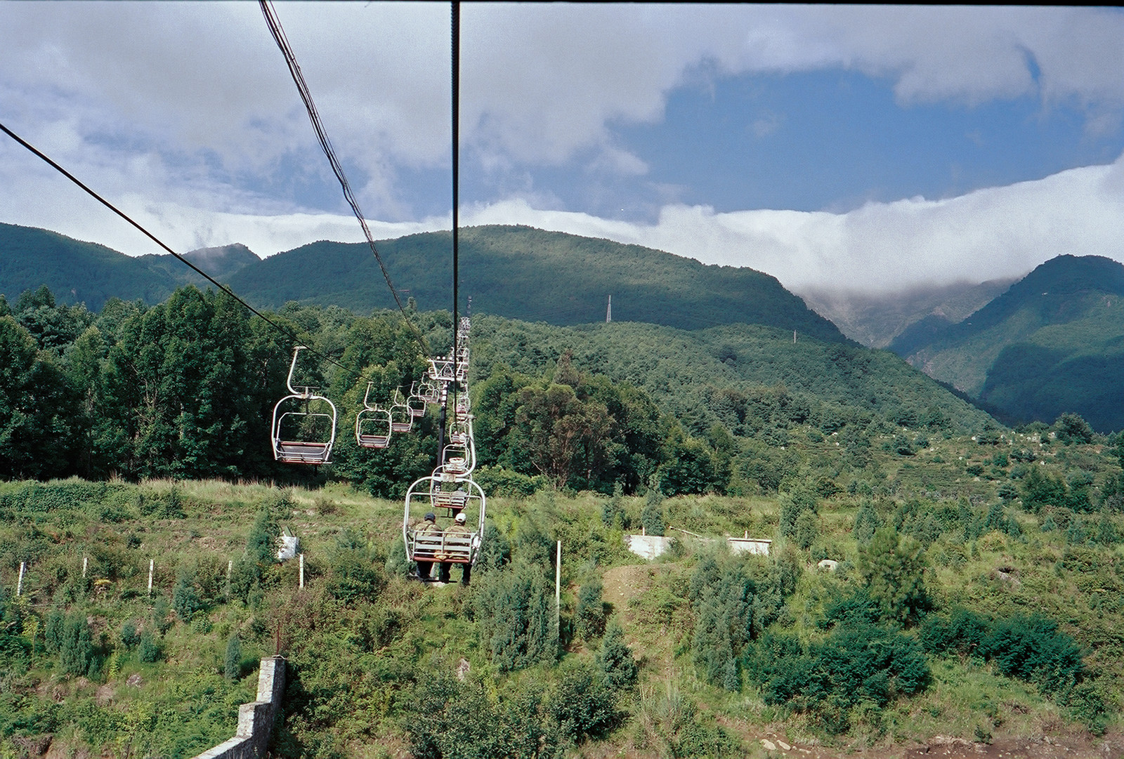
I took the chairlift up to Zhonghe Temple (tag (12), 2500m) which bought me some time, since this was going to become a very long day. I arrived at the upper station around 9:30.
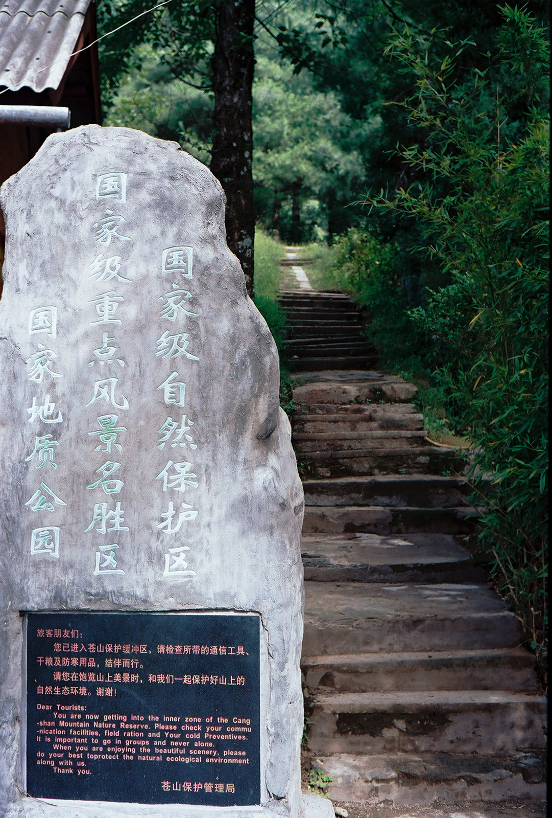
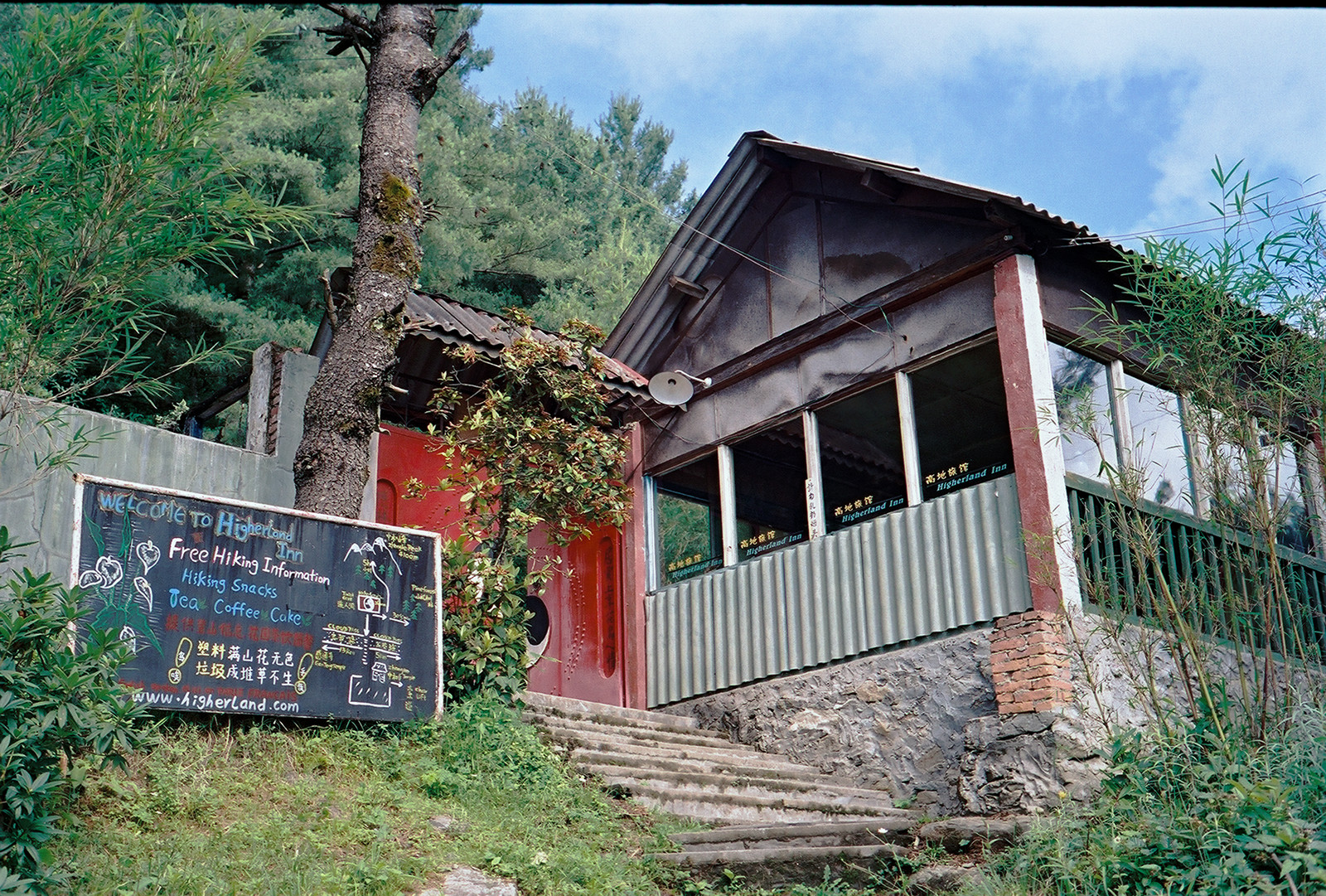

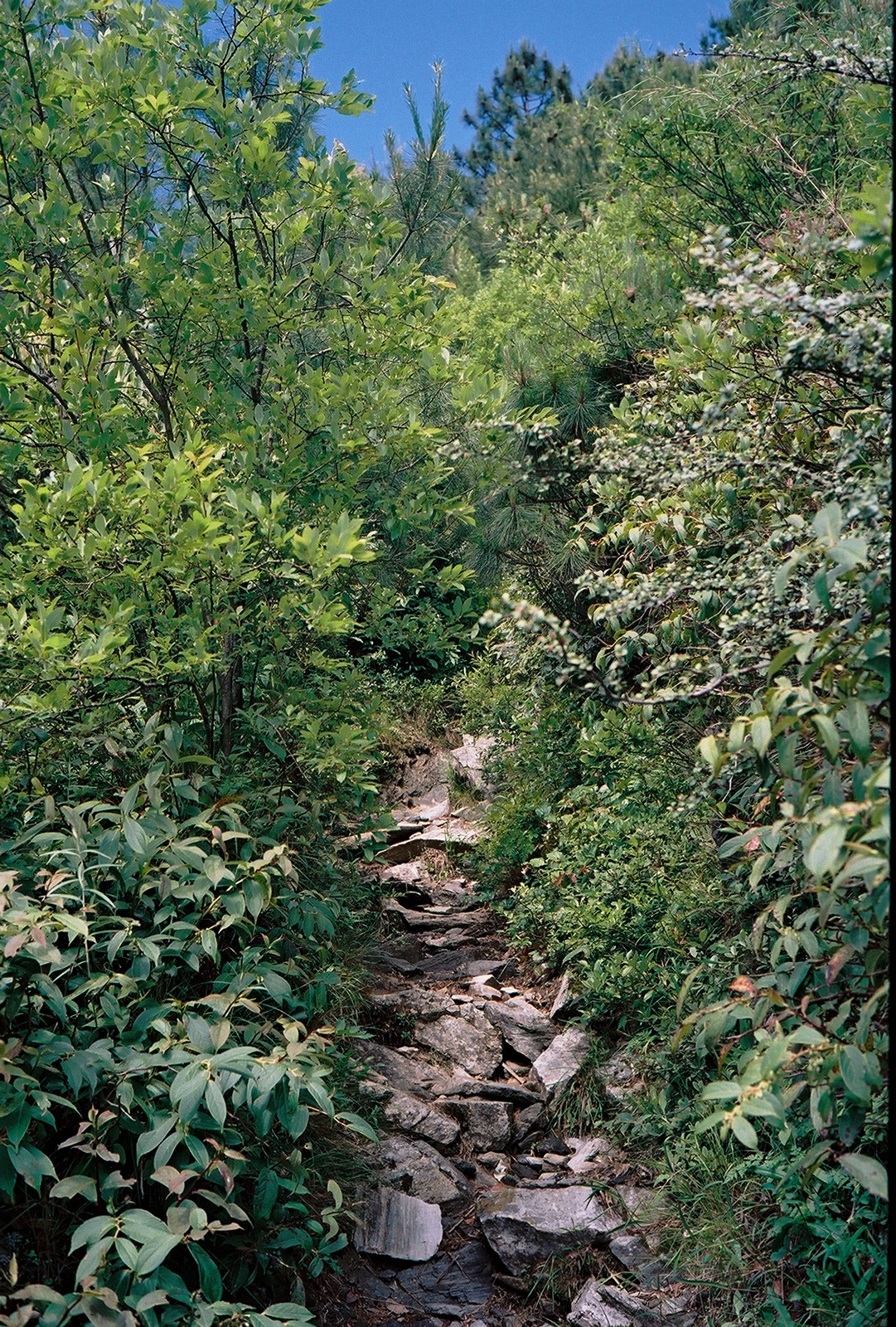
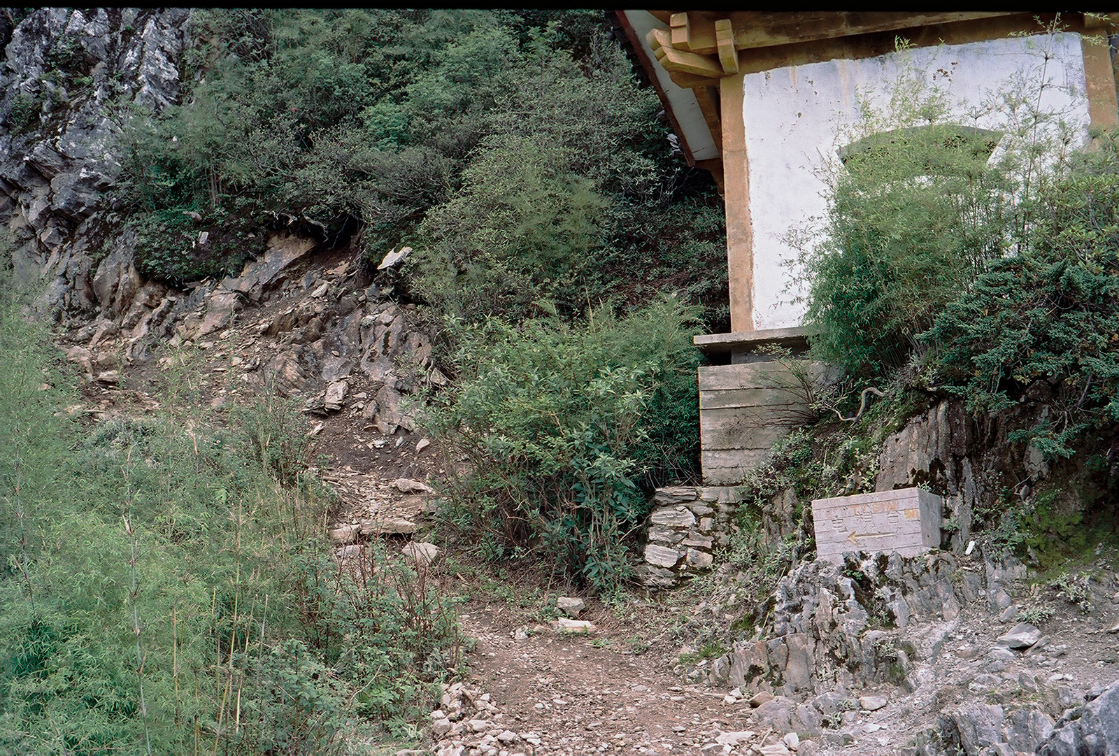
From the chairlift station, enter the cloud pass and walk to the left for a few minutes to find the entrance to the stairs up to Higherland Inn (1), a tranquil hostel at which one could either stay over night or simply drop in for a coffee and a snack. Just to the right of Higherland Inn is a narrow path that leads into dense forest. Here, the actual climb begins.
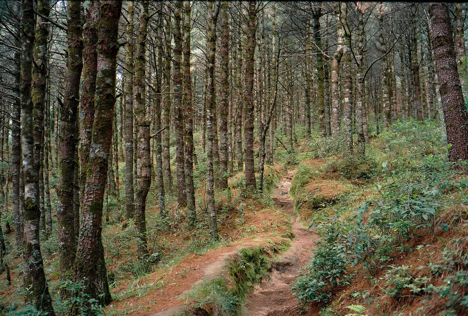

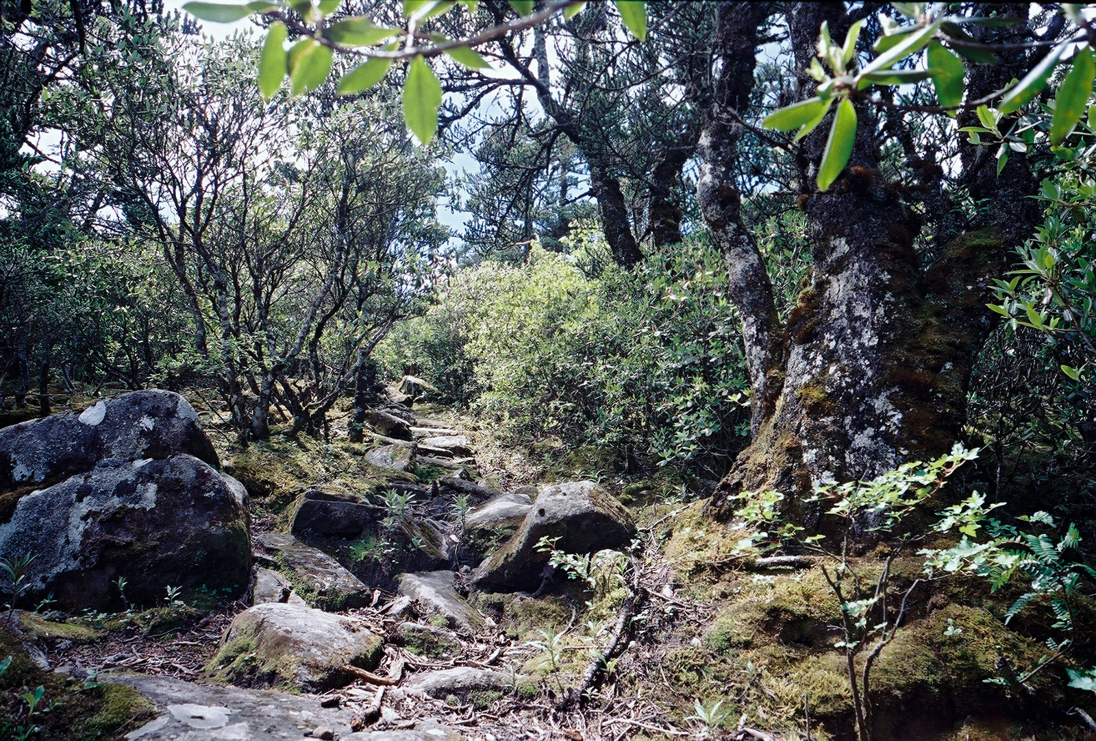
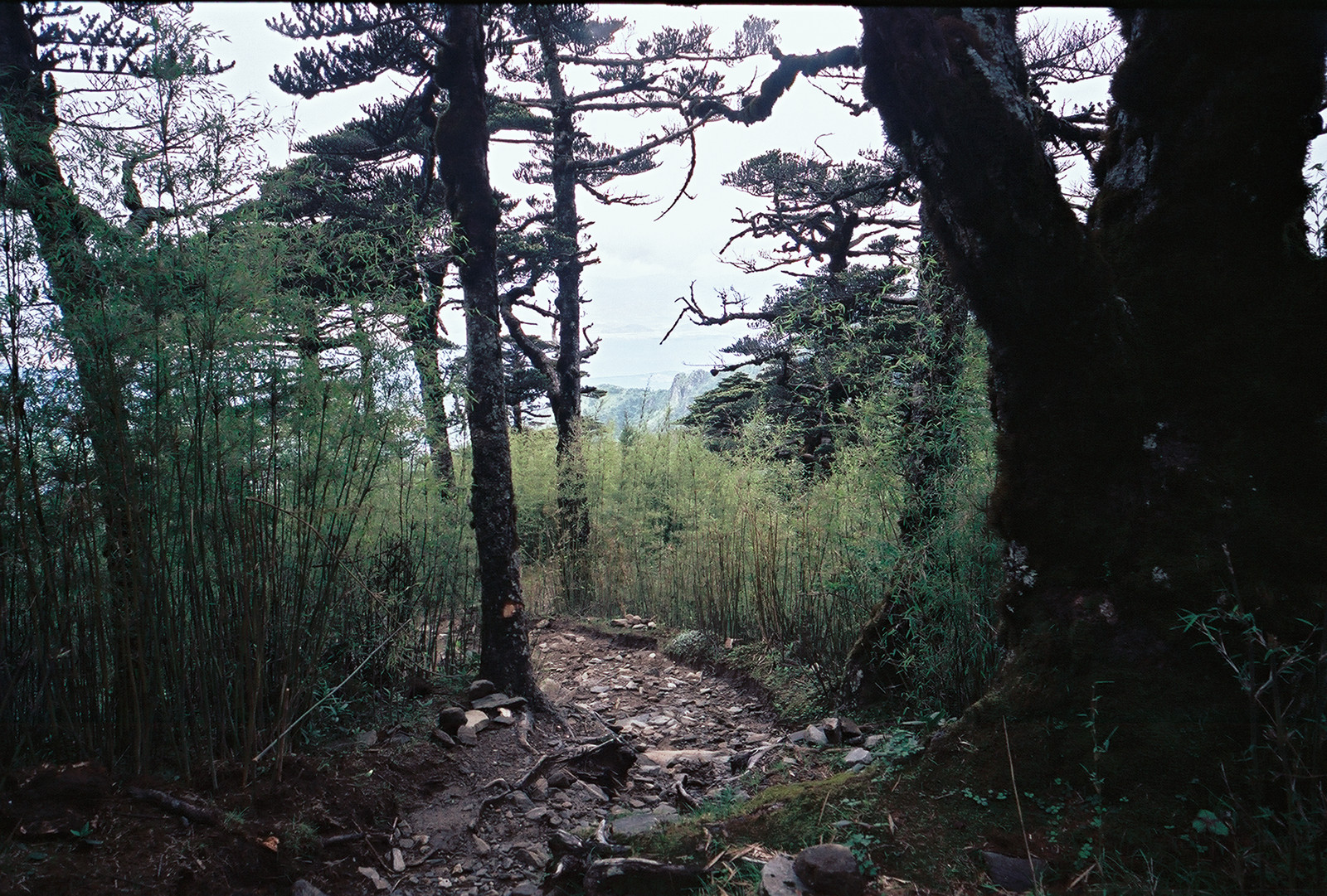
The first section began as a rather easy walk through the forest, during which I was rapidly progressing while gradually gaining altitude.
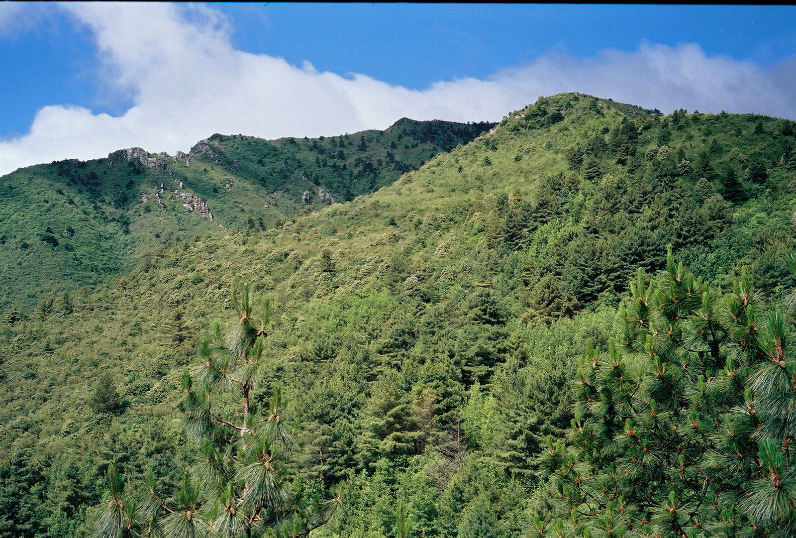
But then, the path turned steeper and I had to gear down a little bit.
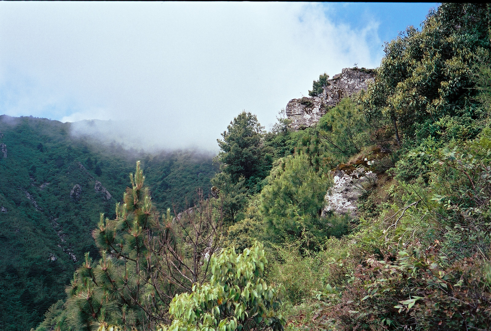
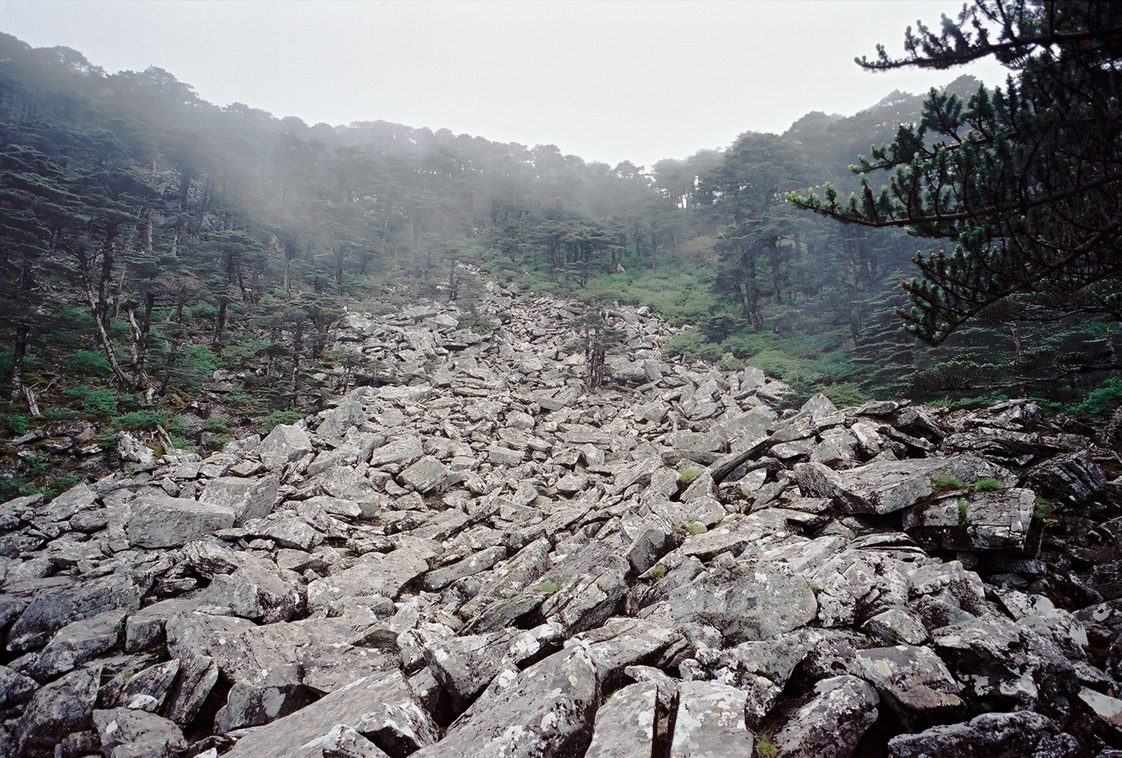
Next came a rock formation which I call 'the castle'. To enter the castle, one has to scramble up a short stretch of rocks. It is very safe, however, unless covered with ice during the winter months.
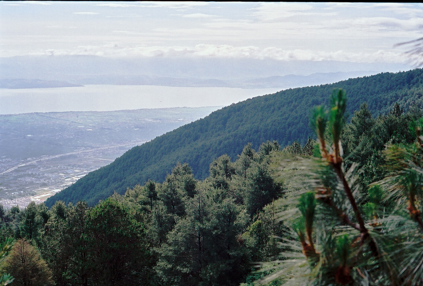
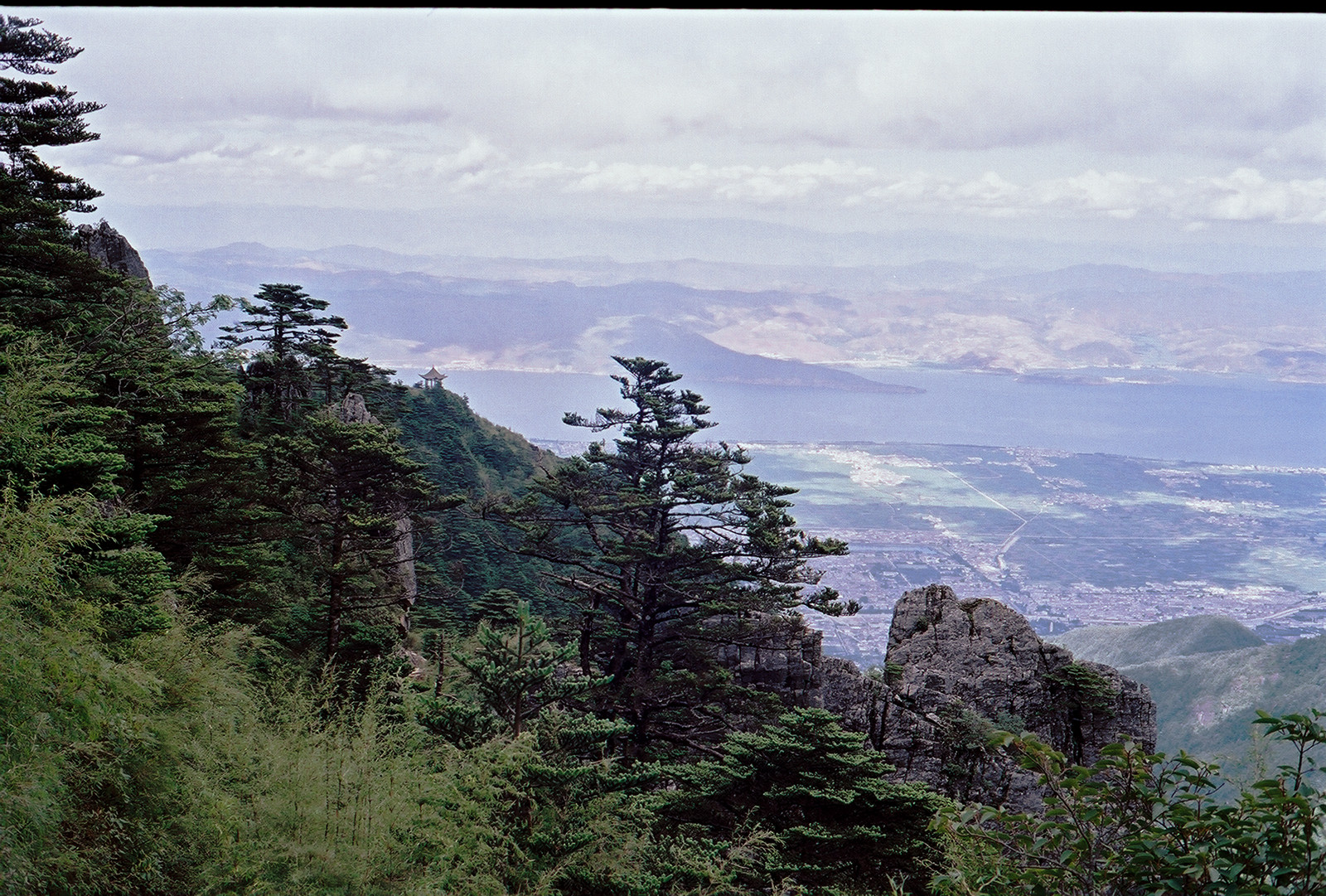
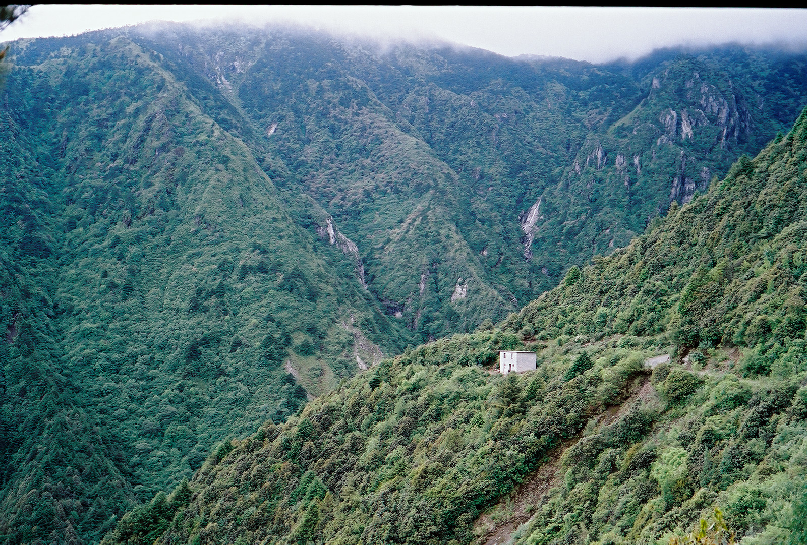
This is an excellent place to take a rest. Located about 3300m above sea level, it offers good views over the surrounding landscape. To the opposite of the valley there is a jeep track snailing up to the end of a popular trail that leads to the Pavillion, a famous view point about 150m above the road. Tourists had booked cars that were now waiting for the return of the hikers. I would come down the same trail on my way down a couple of hours later and I wondered whether I might be able to catch one of those cars to hitchhike downtown on the last section of my climp. With my binocular, I now had the opportunity to check out the trail that I would have to conquer later this afternoon.

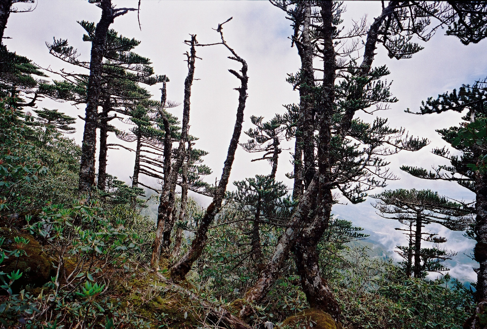
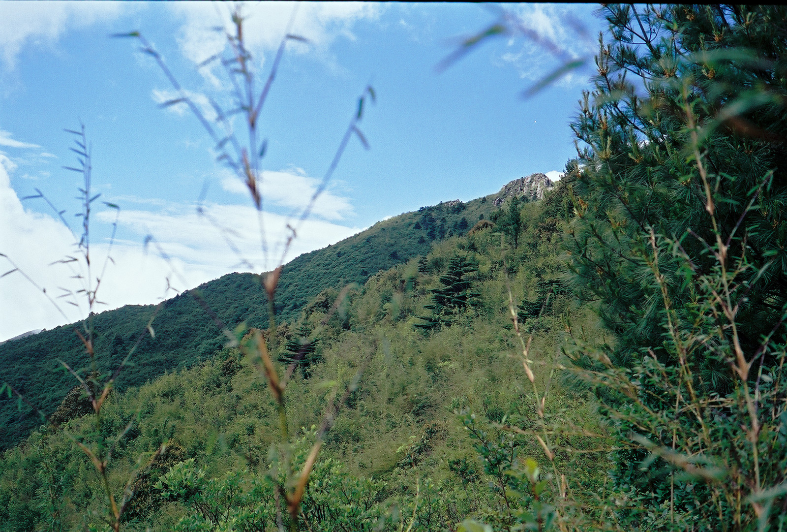
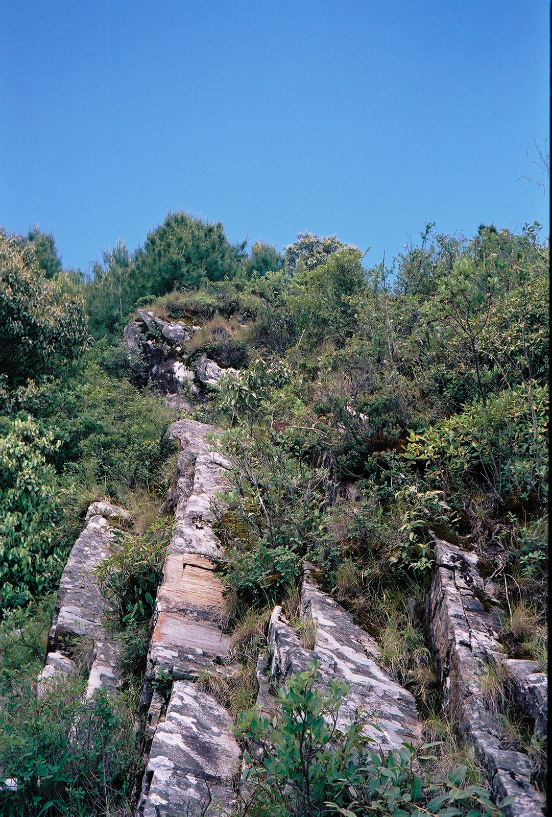
Now, the forest turned sparse, the trees crippled. For the first time I also felt the air thinning down, forcing me to breath faster than before.
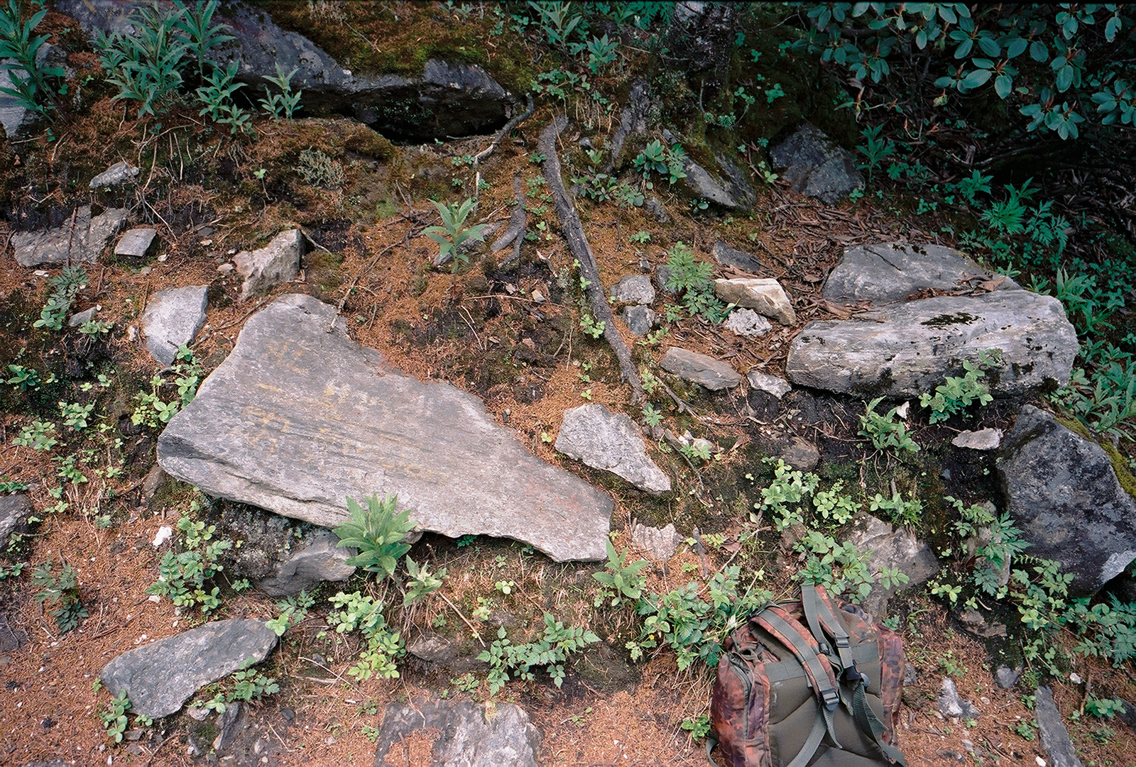
I reached the end of that path, marked with a 'sign' - its inscriptions had almost completely faded (tag (2) on the map). To the left was the trail to the top, to the right followed a rocky slope that would have been a short cut to the small shrine. It was 12:20, about three hours after my departure from Zhonghe temple, and I had reached an altitude of about 3500m, 1000m up and 600m still to go.
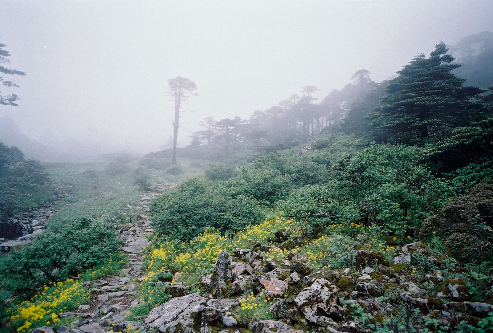
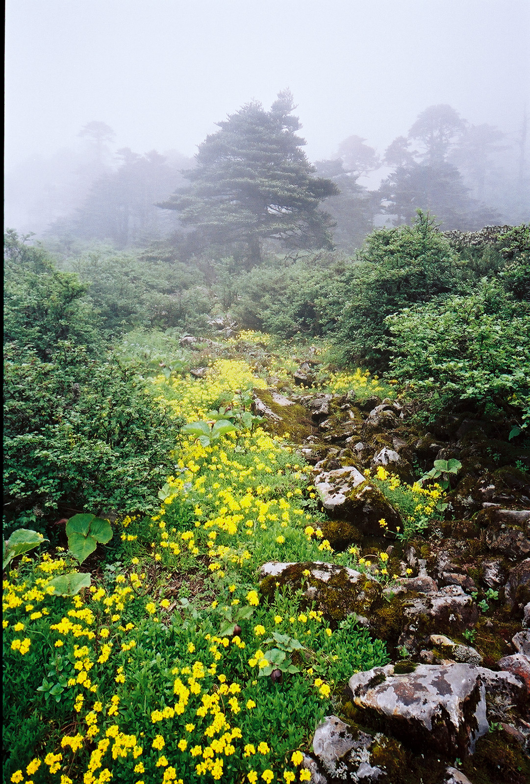

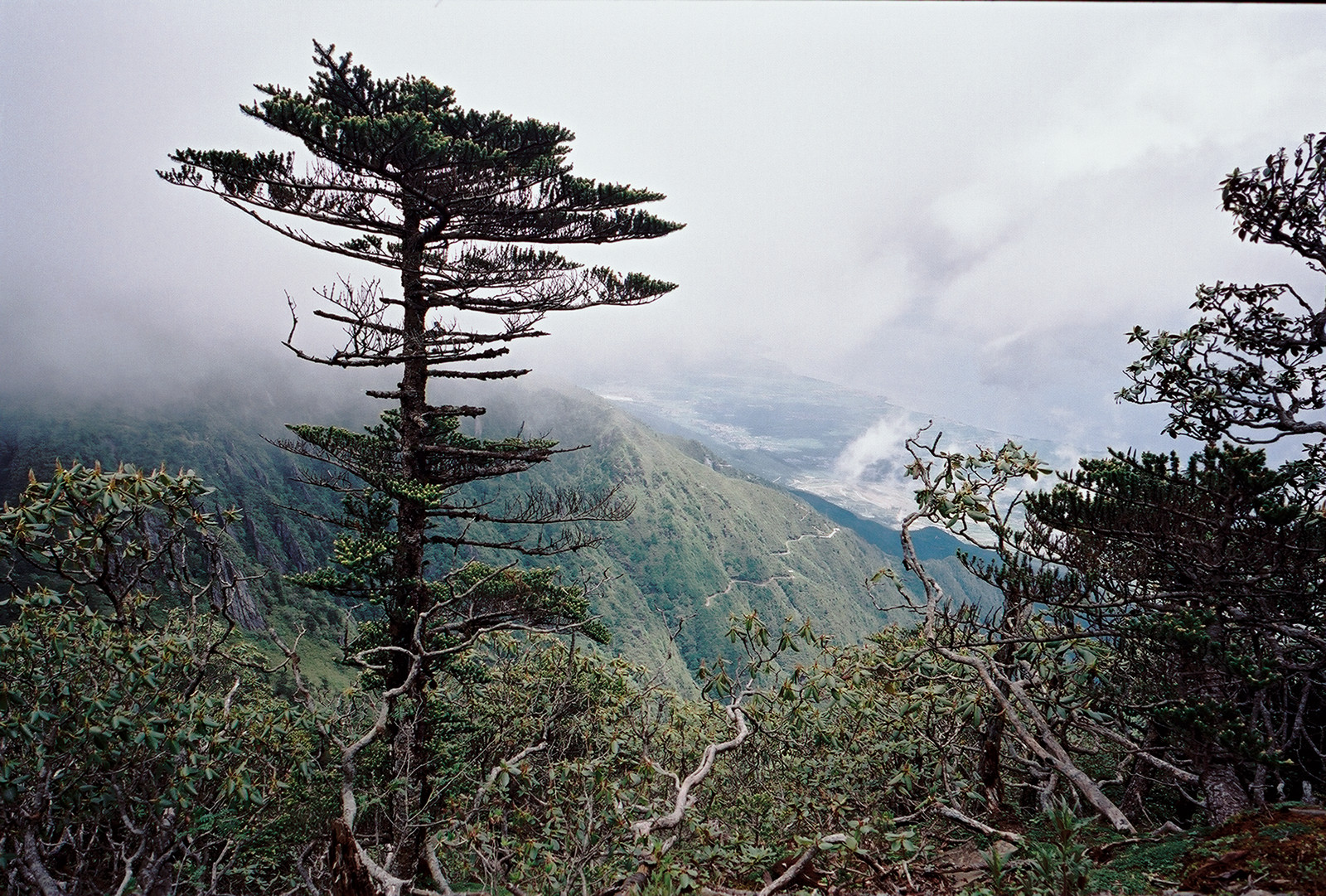
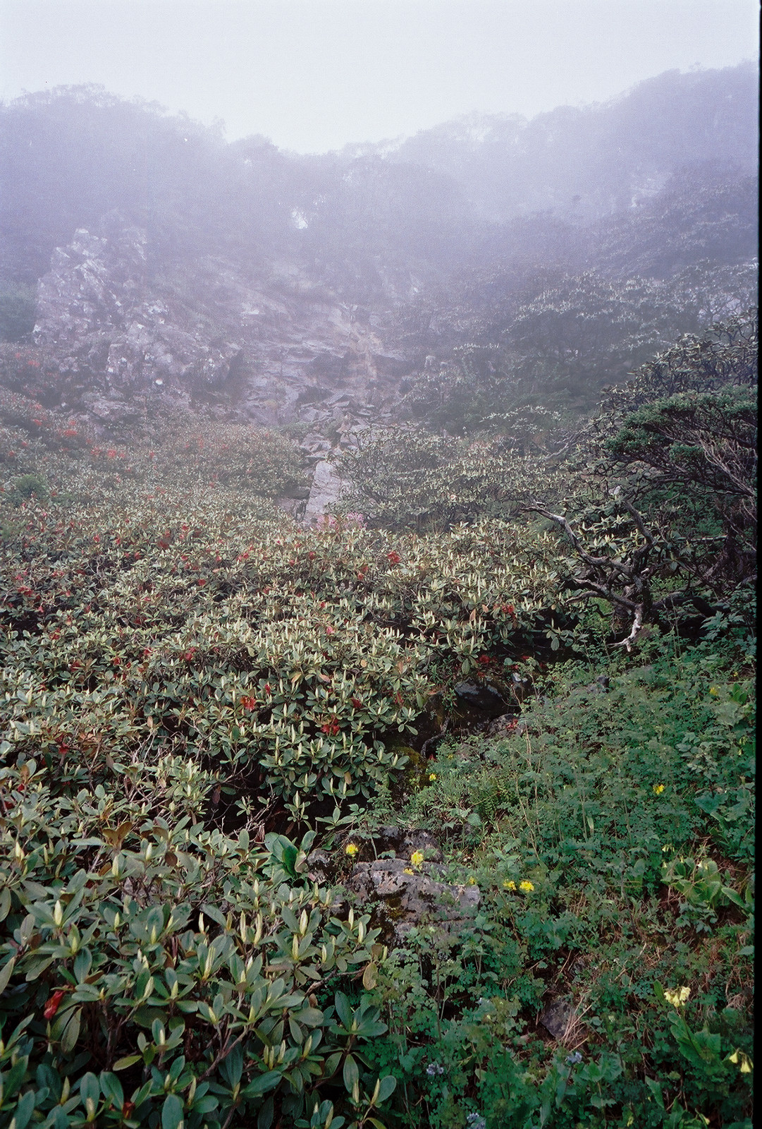
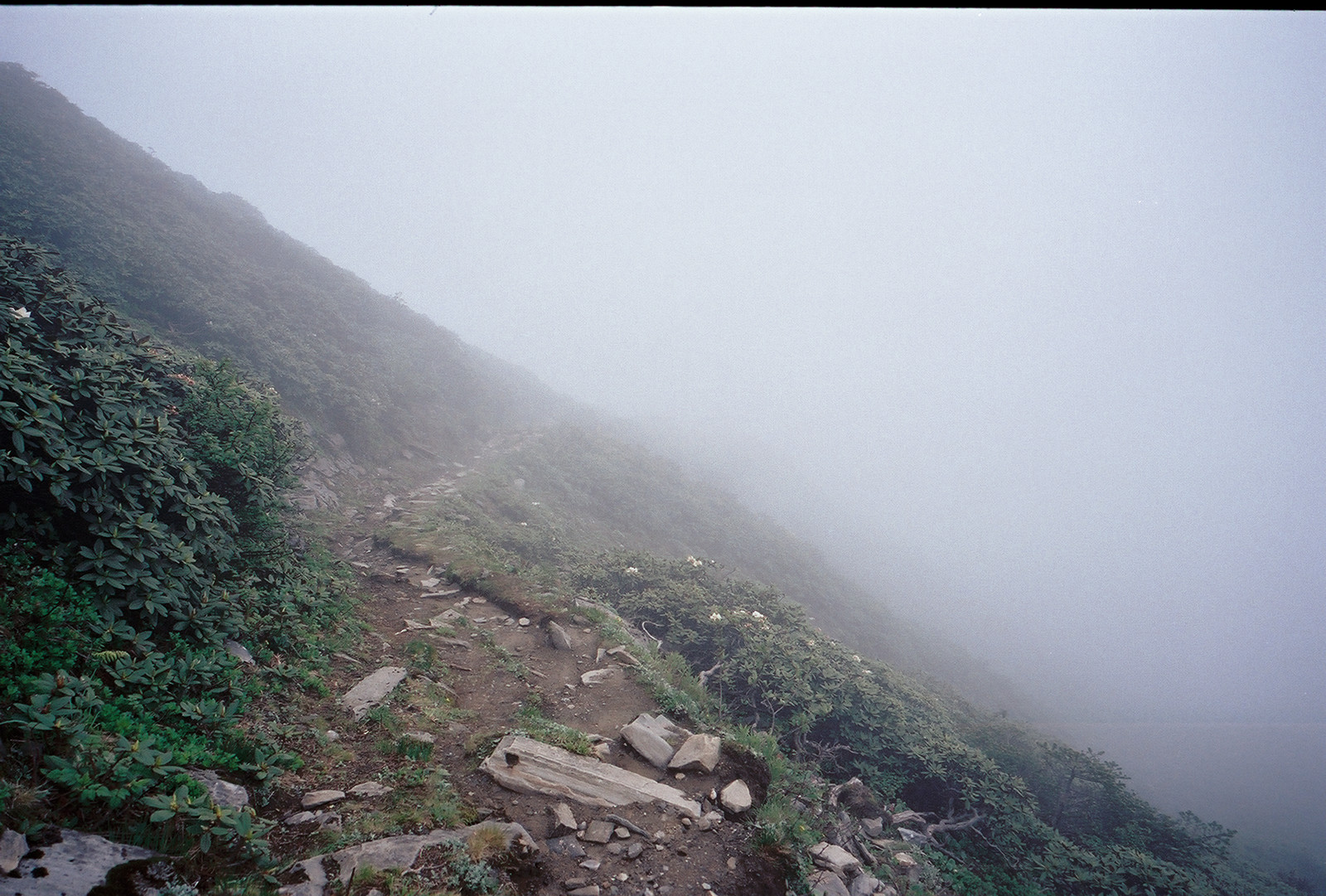
It felt like entering another planet: The light went off when I entered the clouds, birds were no longer heard, only the howling of the wind. While all the other colors faded, a flower field offered a surprising sight, and there was a small river where I refilled my water bottle.
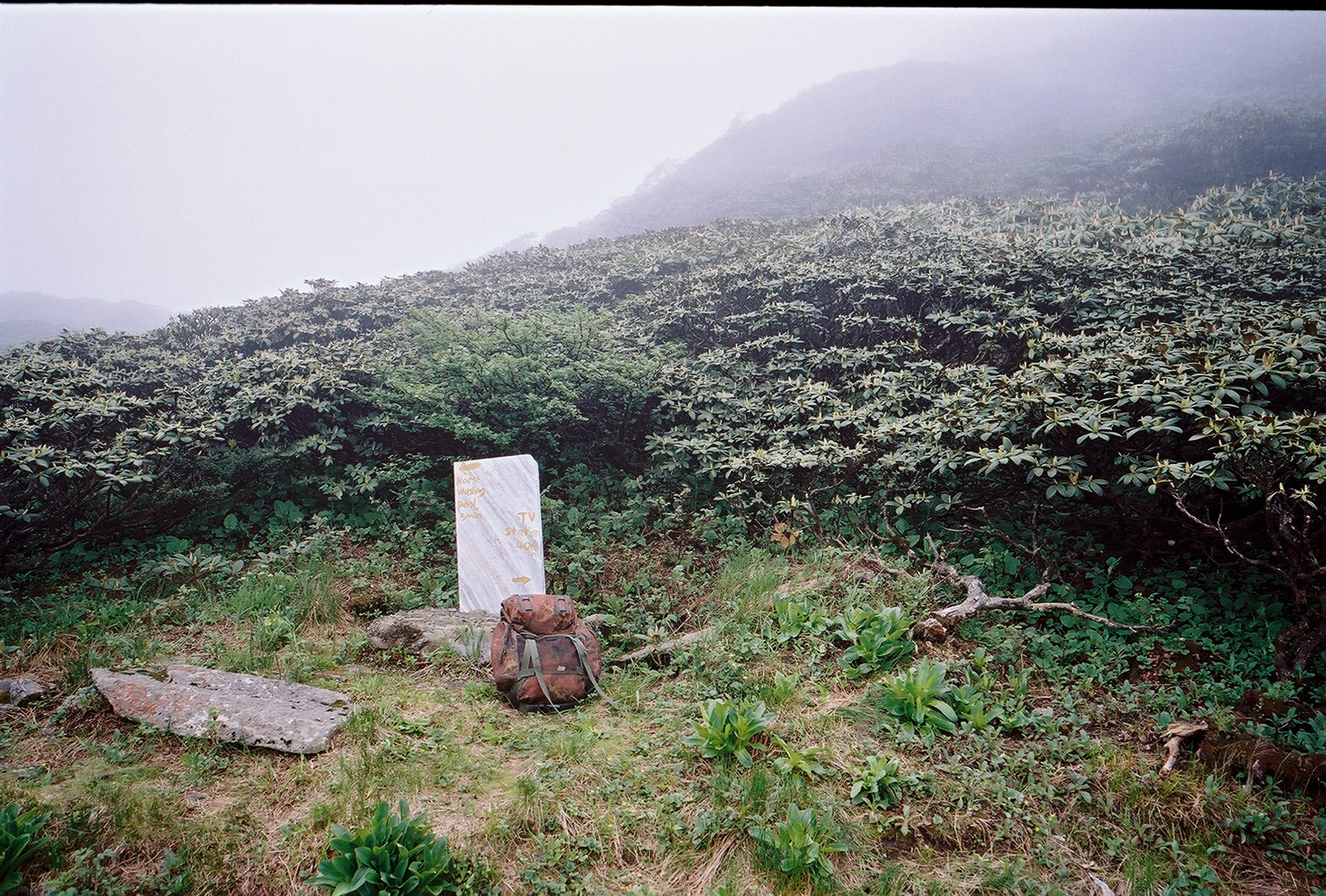
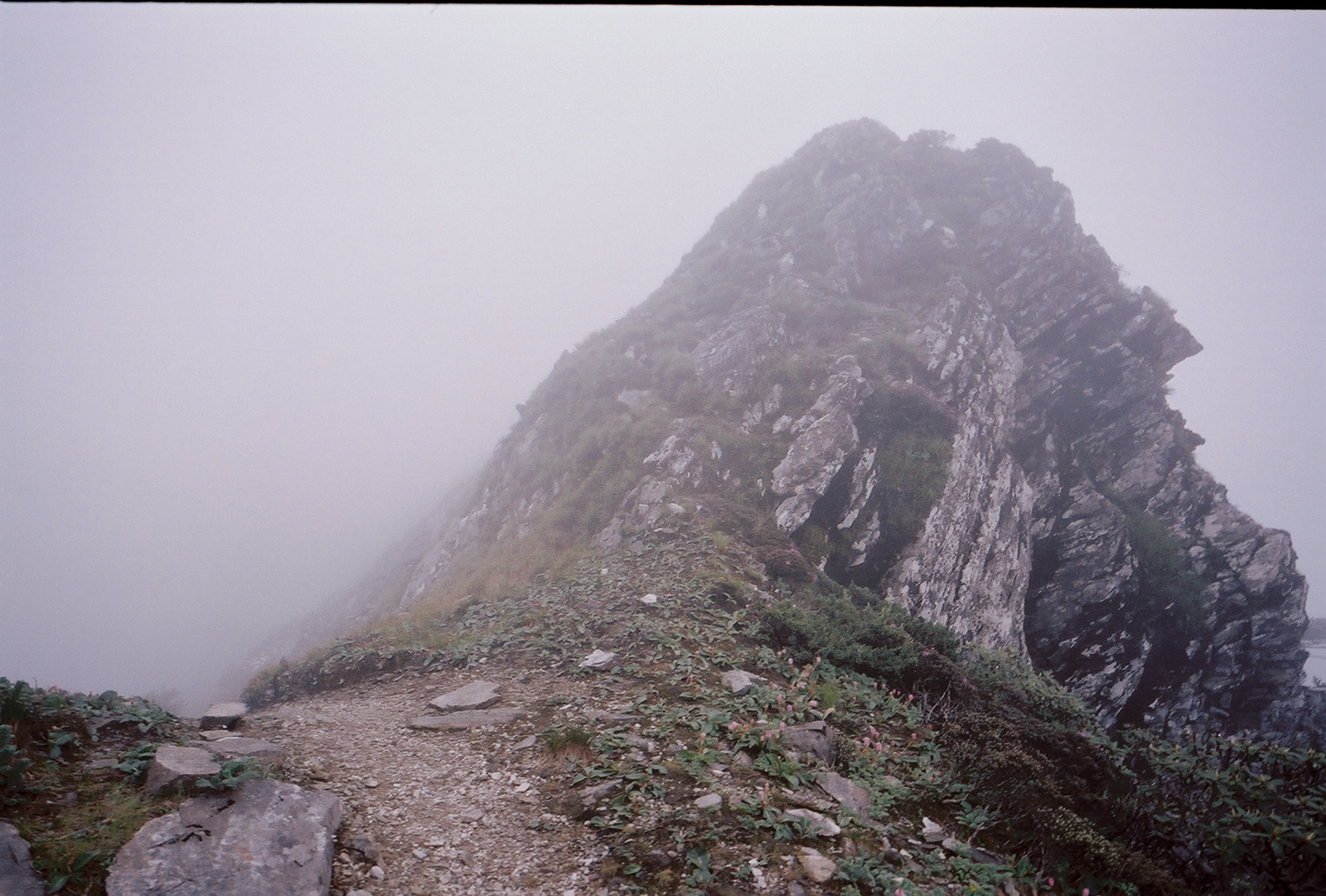
I reached another sign (tag (4) on the map) that let me turn right to approach the TV station. To the left there was the horse washing pool. These paths were not designed for the pleasure of hiking tourists, but part of an ancient network of trade routes, conquered with packhorses, connecting various remote towns on both sides of the Cang Shan. When I crossed the last ridge before the summit, a cold and very harsh wind let me take on all the clothing I got.
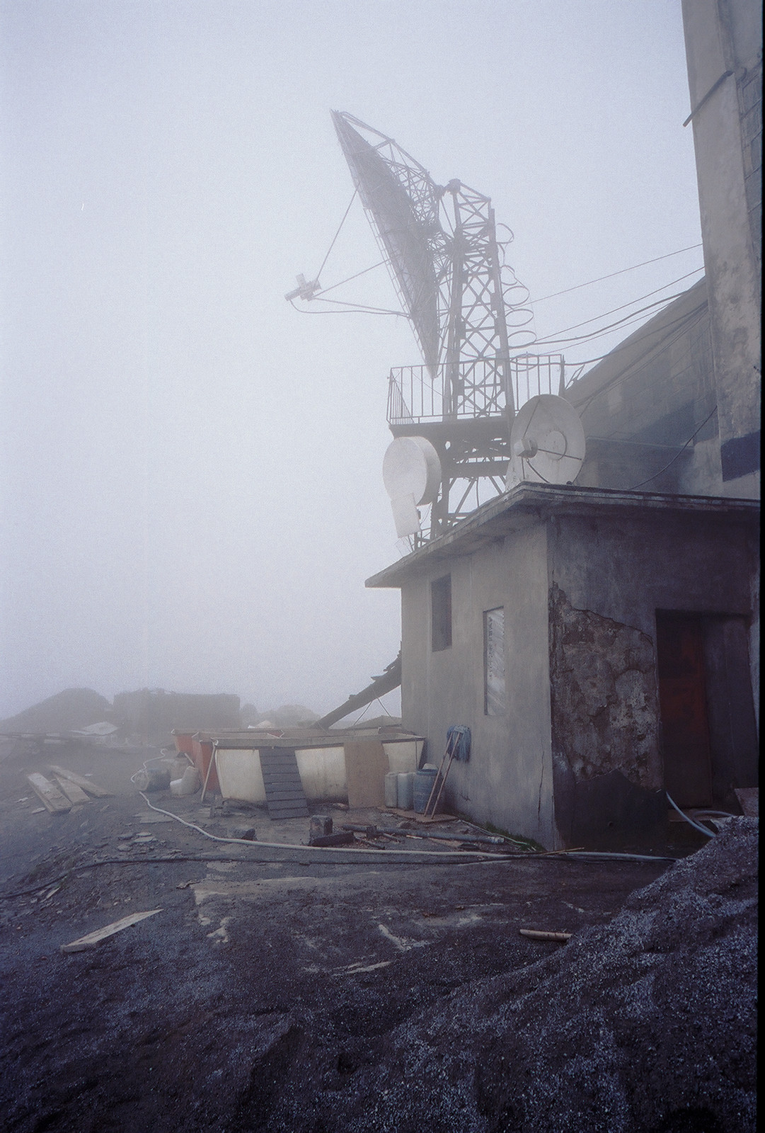
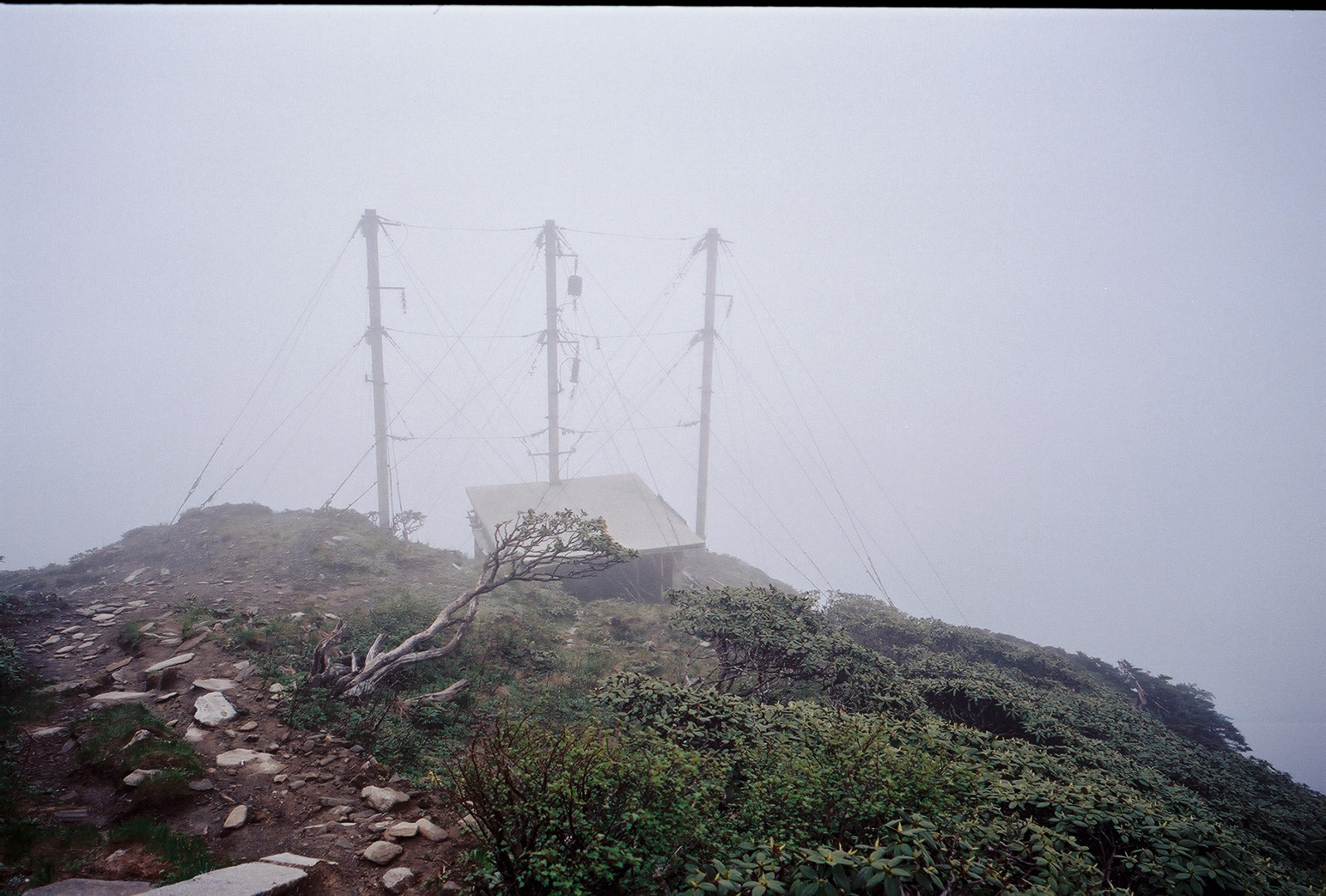
While entirely deserted when I had visited here last time in 2005, the location (tag (5) on the map) was now in a process of reconstruction. Tools, water pipes and construction material had been carried up. I met none of the construction workers, though. It was now 14:15, almost 5 hours after my departure from Zhonghe temple, and I had reached the maximum altitude of 4092m. The wind was fierce, it was cold and gloomy - no point in hanging on for any extended time, so I quickly began searching for the path that would lead me down.

Here it was and I began rushing down. Once back into the forest, the wind ceased and I could ease down, eating whatever was left of my chocolate bars, breathing deep.


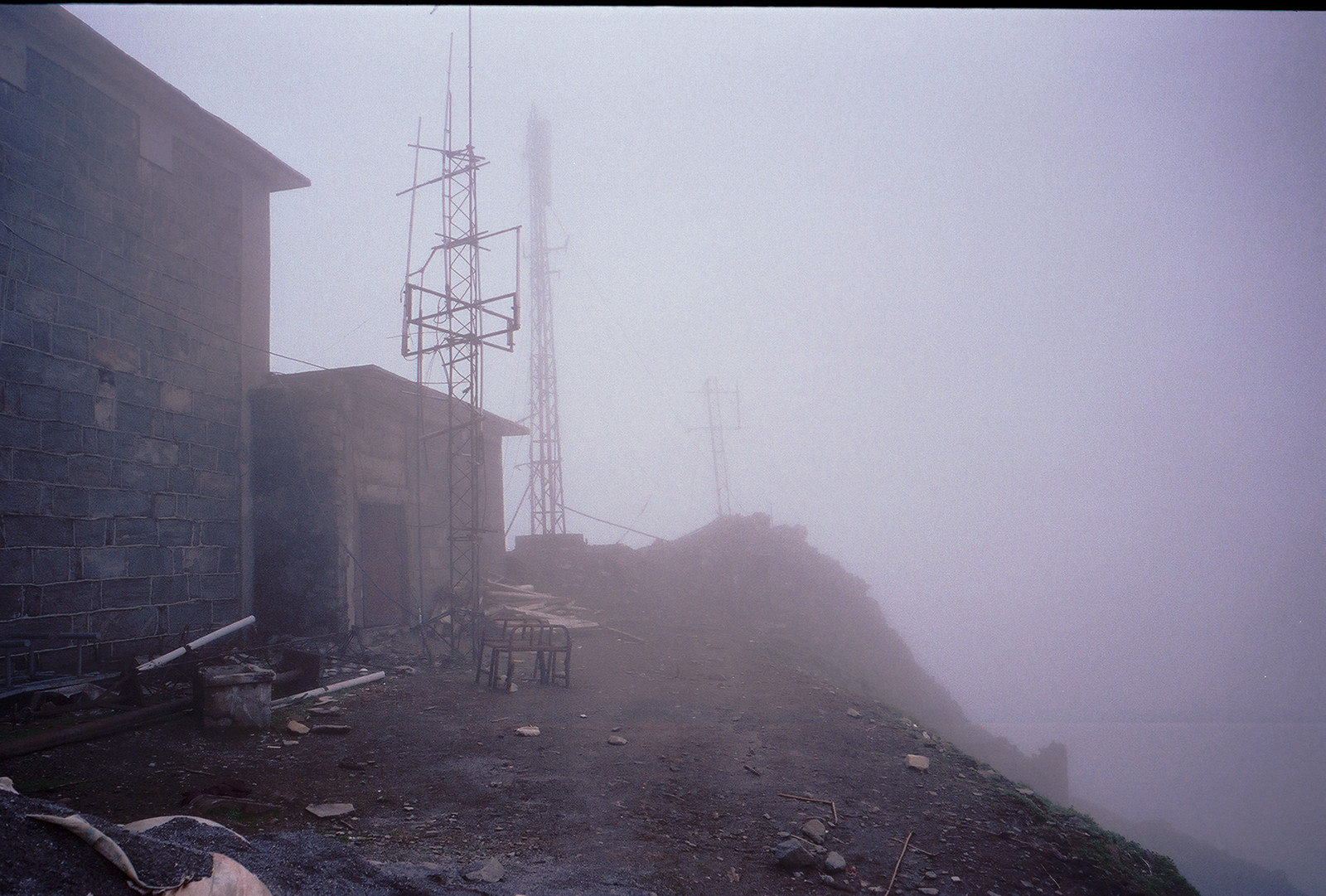
After passing the power lines that feed the TV station, I reached the small shrine (tag (8) on the map) at about 15:40. At the foot of the shrine there is another sign that shows the correct path to the TV station.
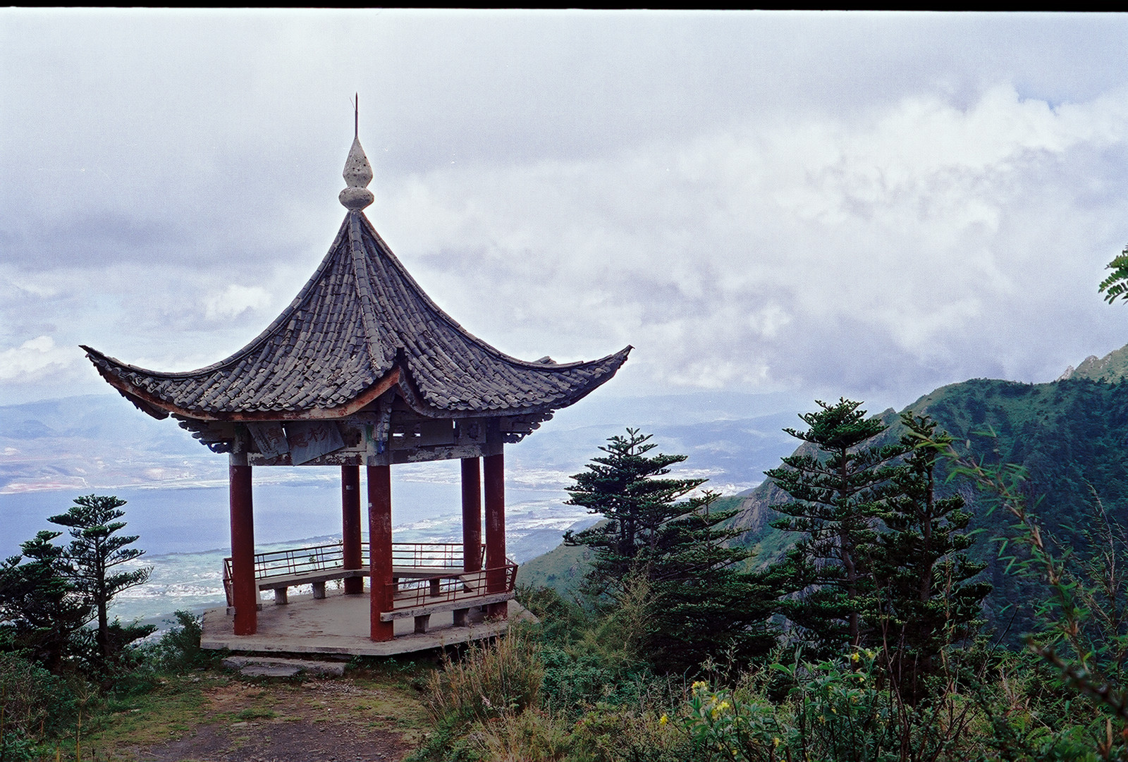
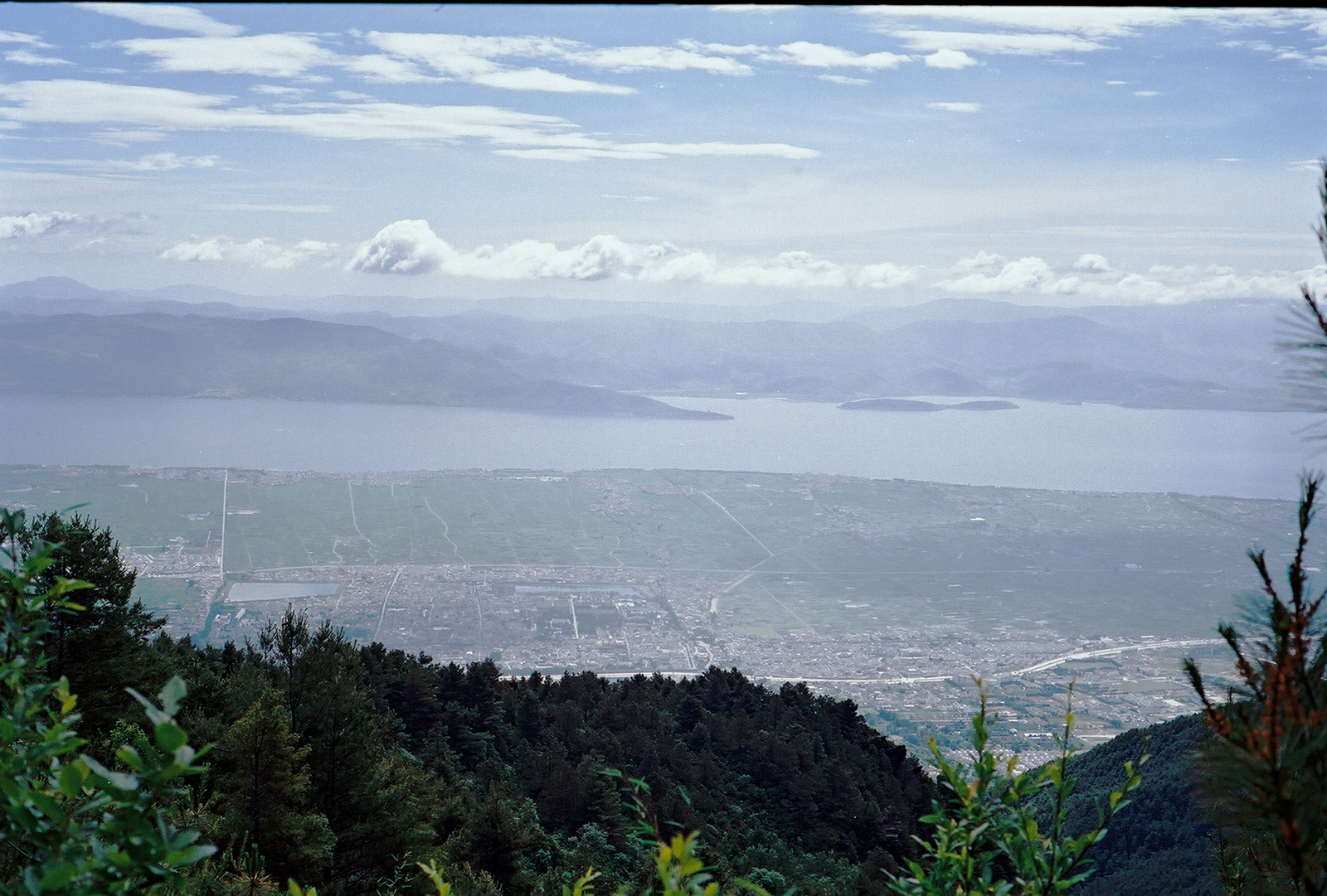
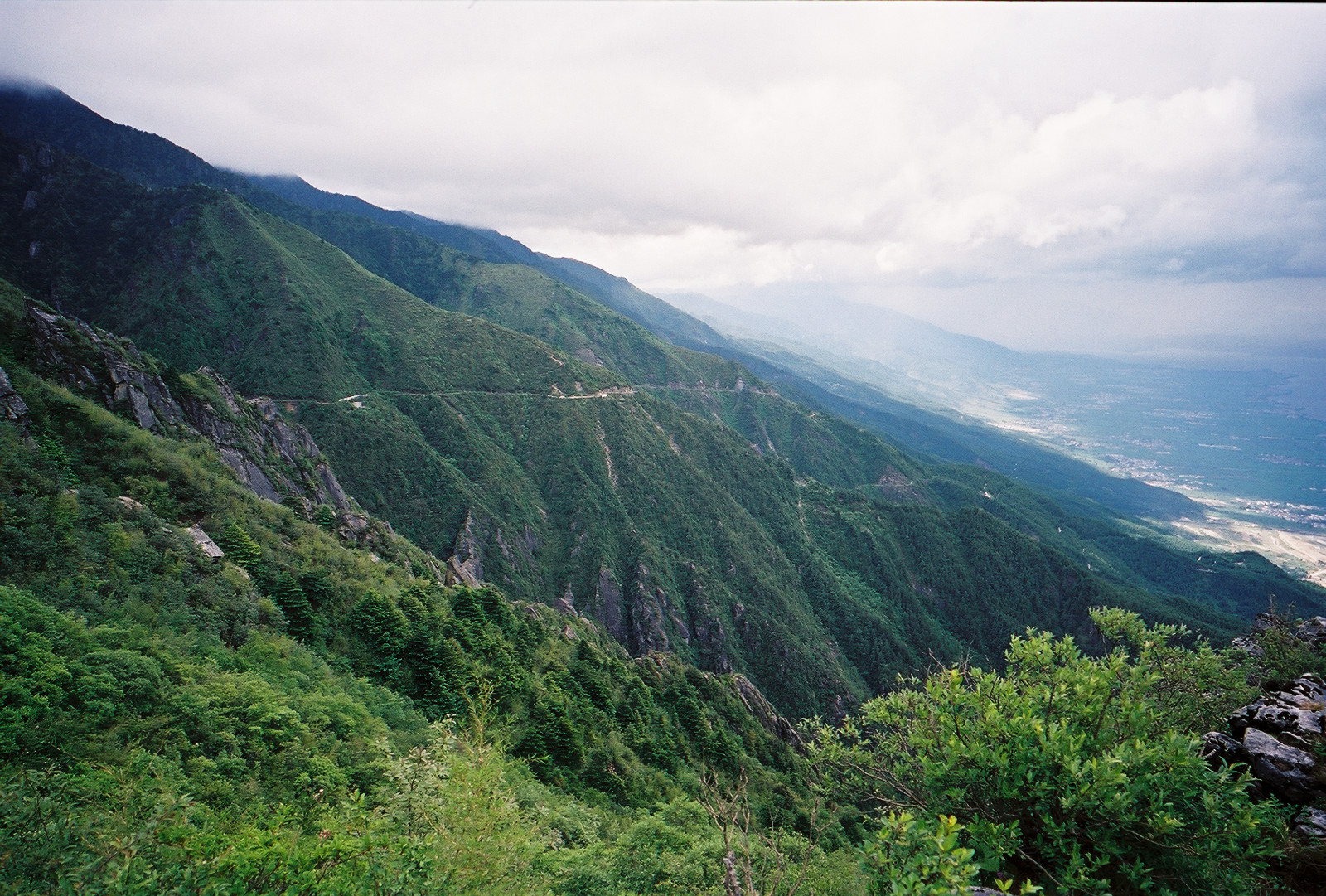
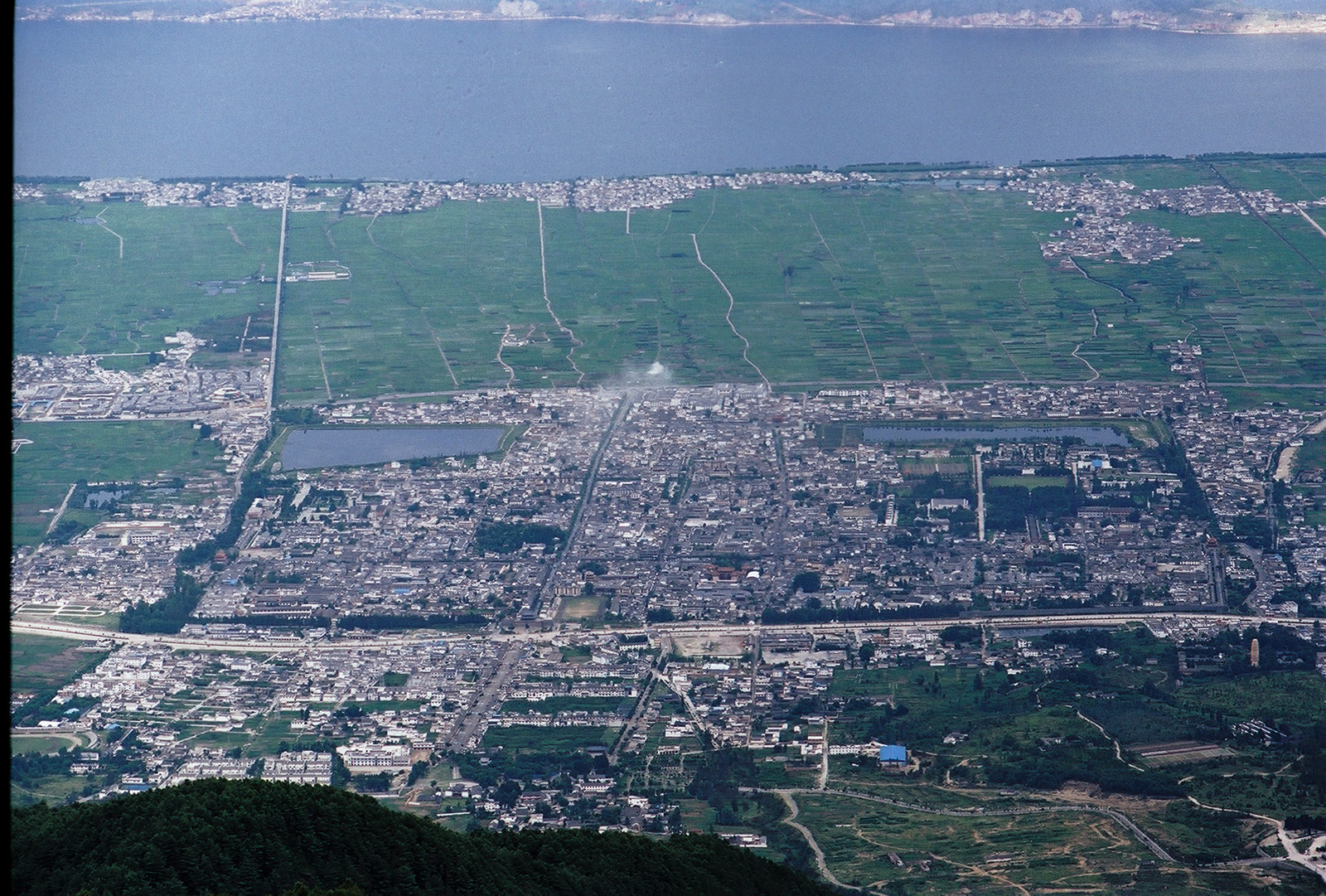
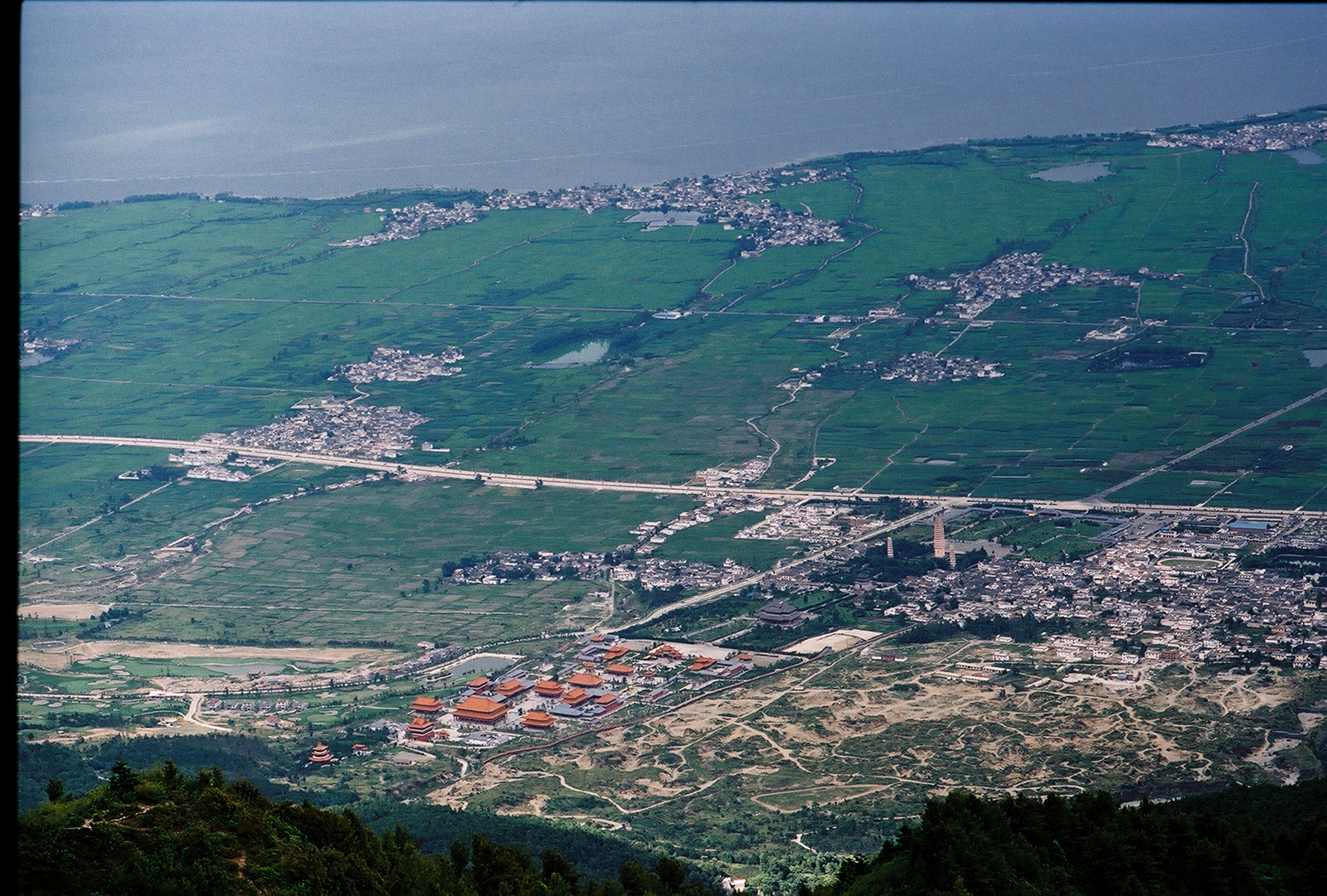
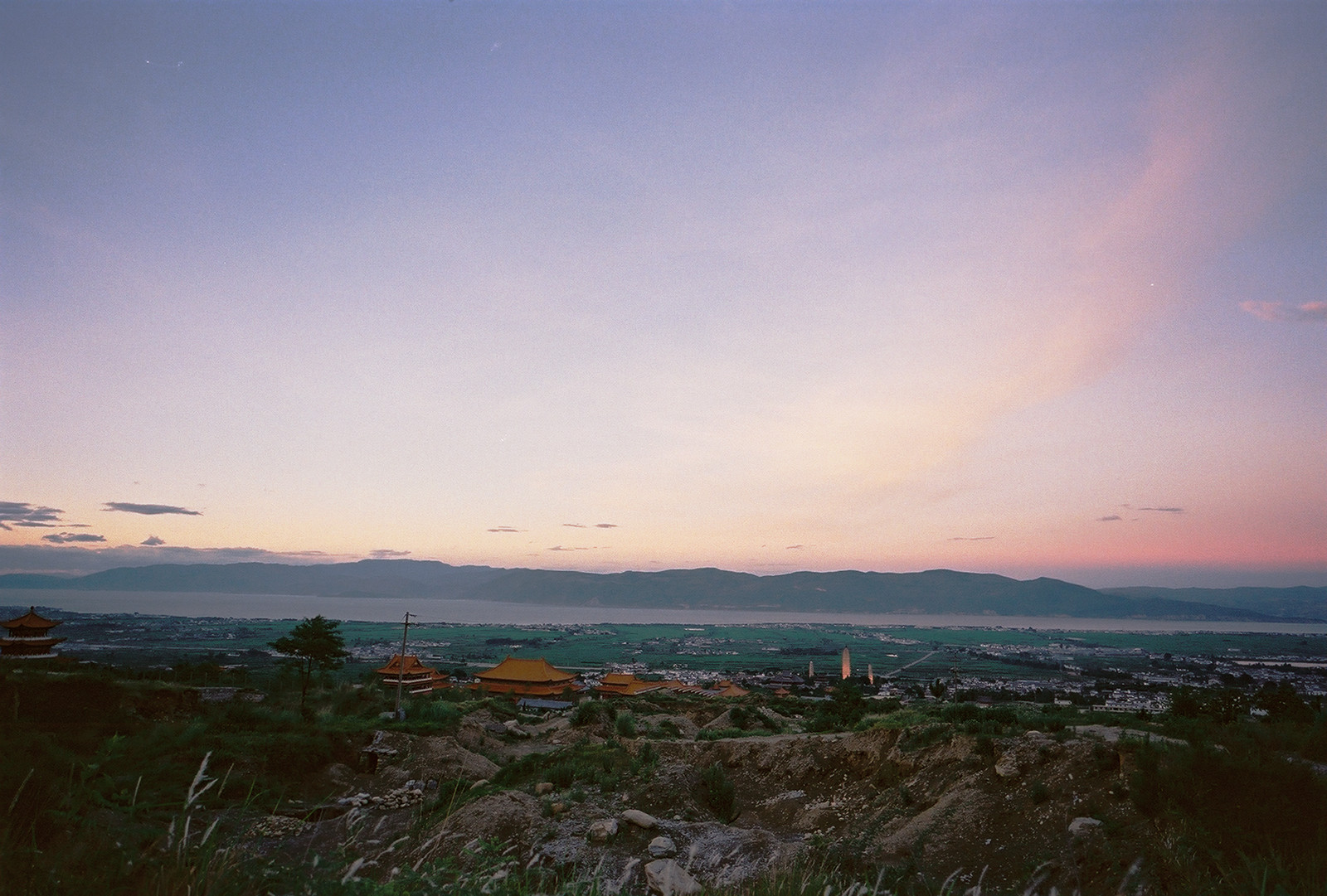
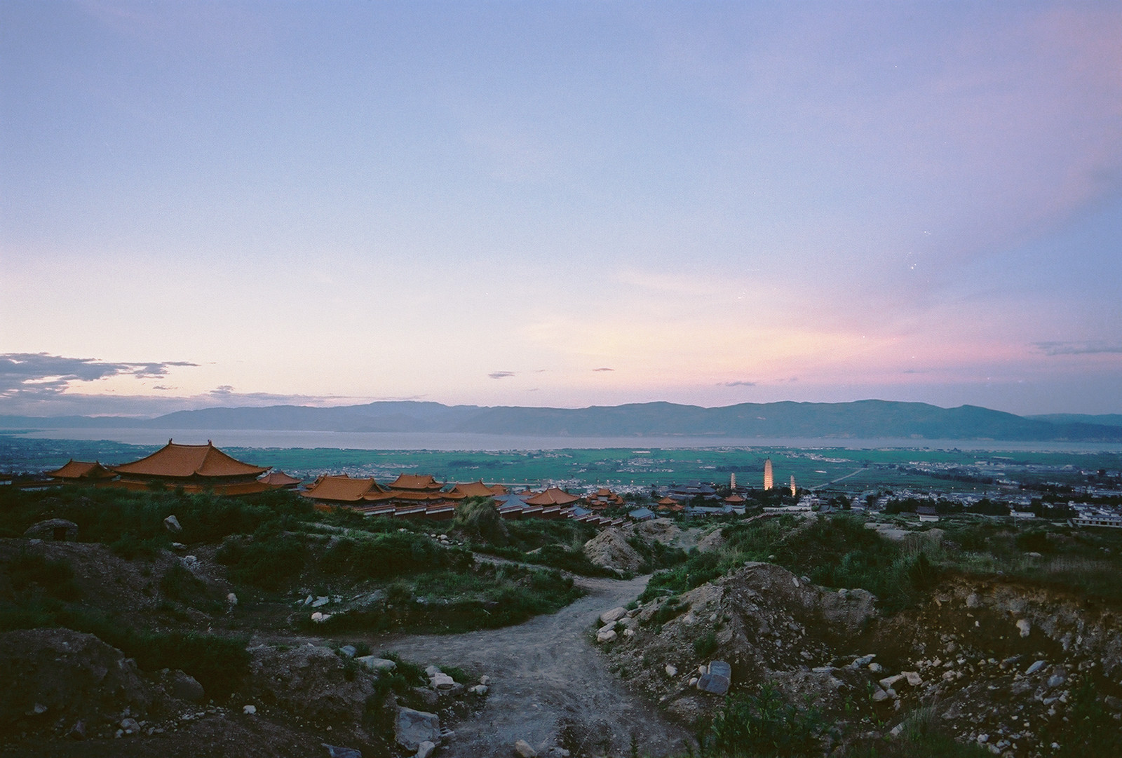
40 minutes later I arrived at that Pavillion which - being well below the clouds - offered an excellent view onto the old town of Dali. To the right, a part of the Cloud Pass is visible, but that was not my route down.
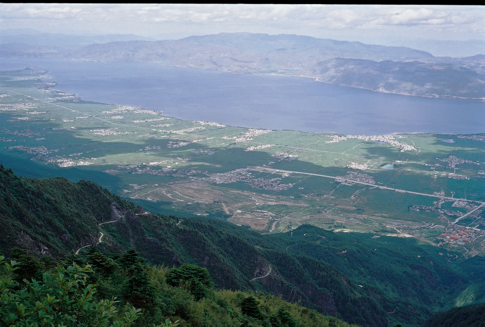

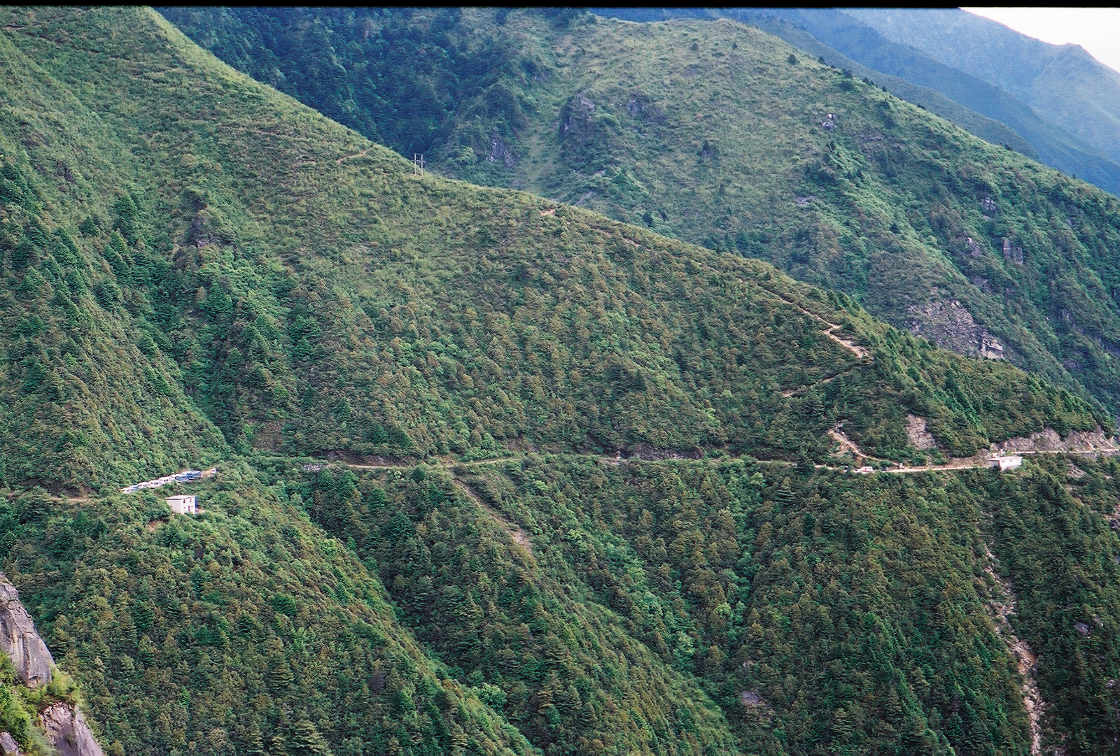
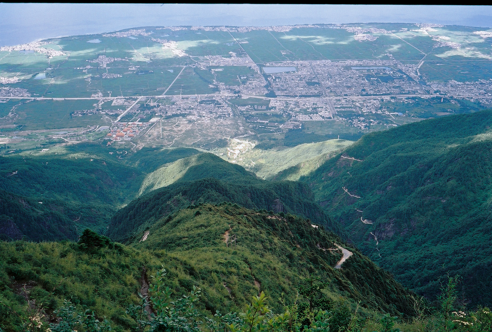
I reached the upper end of the jeep track at 5pm. My hopes to find an opportunity to hitchhike were in vain, all tourists had already left and I had to walk down on my own. It was an easy downhill road, but it was long, roughly another 20km, and 1300 vertical meter.
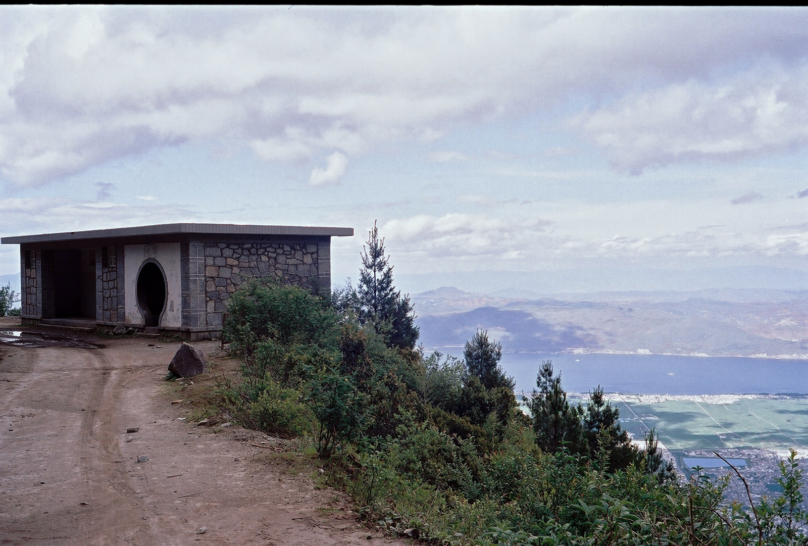
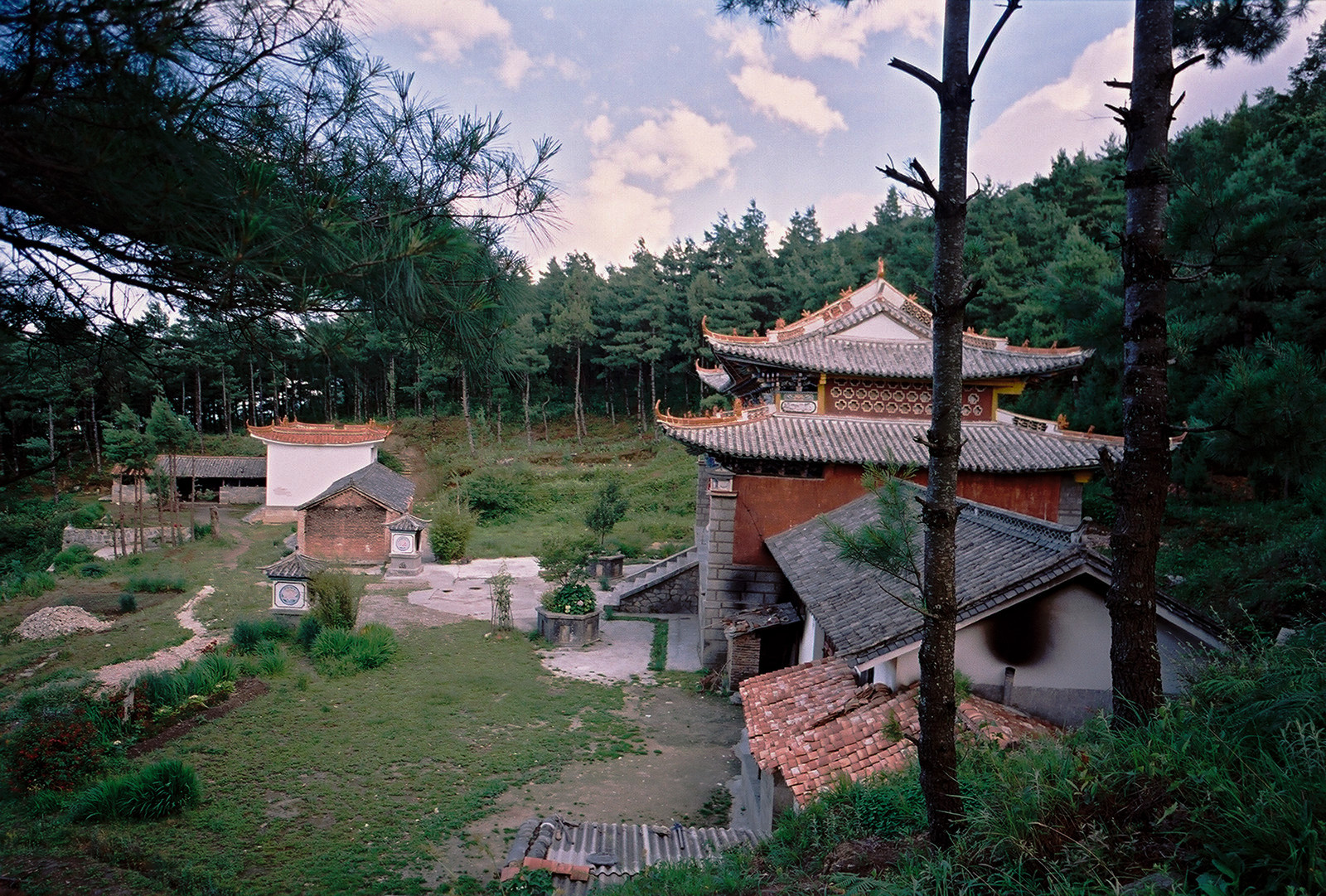
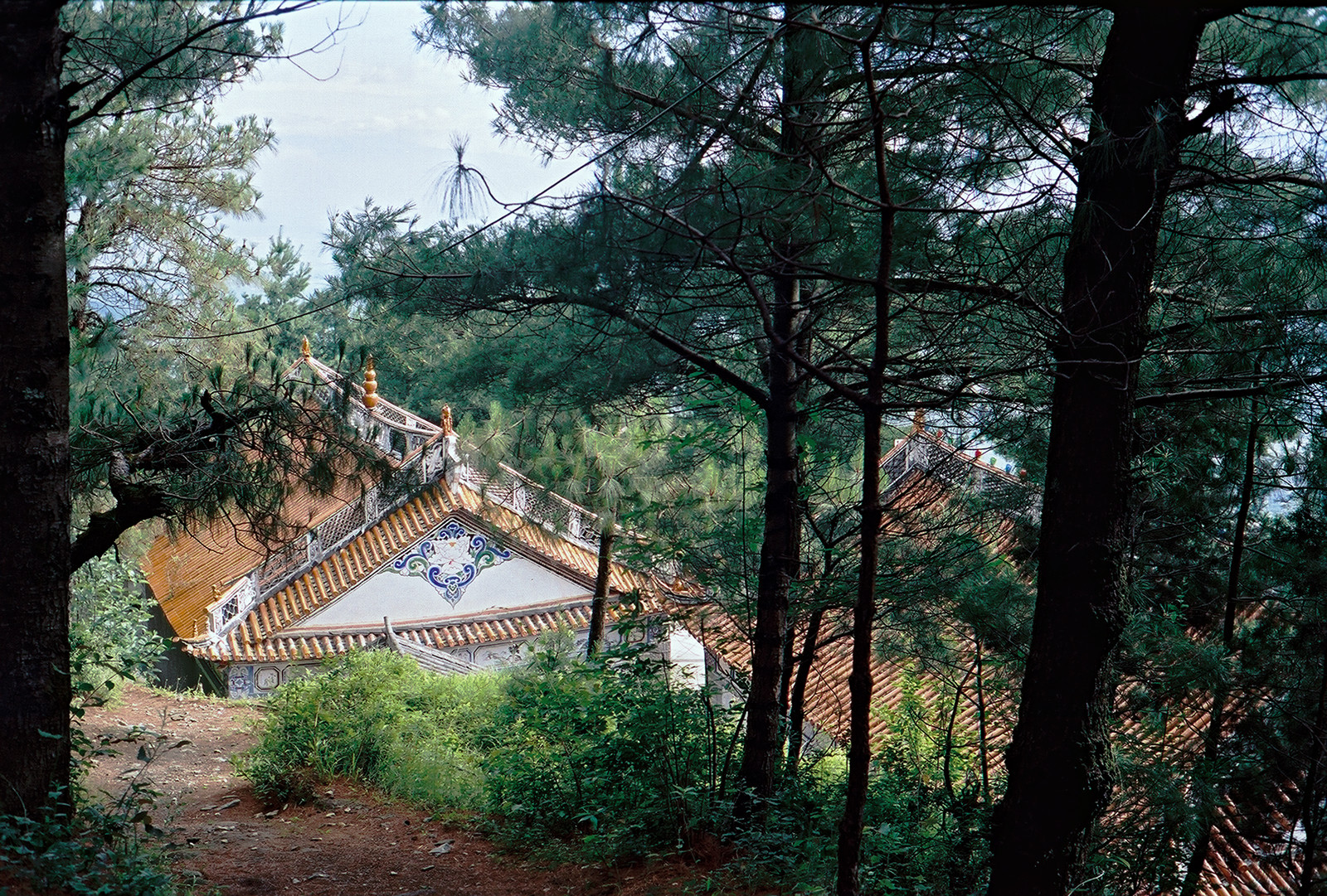
At least, I had an opportunity to visit the highest altitude WC of Dali (at 3200m, tag (9) on the map), at which not only the view was breathtaking. Walking downhill, exhaustion gradually set in and I turned into robot mode, switching off my mind and just moving on step after step. In this situation, the can of Cola that was still left turned invaluable: It offered a boost of energy for the long walk down. I passed a small temple but didn't have the motivation to stop by.
I arrived at the Three Pagodas (tag (23) on the map) at 20:30, eleven hours after my departure from Zhonghe temple. Another 45 minutes, and I would be back to the town for a rehydration with a few bottles of cold beer. They were well deserved. Cheers and thanks for joining me on my hike!
Photos (except the last one) made with Leica M2, Voigtlander Color Skopar 28mm, Voigtlander
Nokton 40mm, Konica M-Hexanon 90mm, Fujicolor 100 film
Back Home